


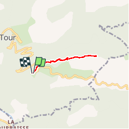

12.7 km | 25 km-effort


User


FREE GPS app for hiking
 SityTrail
IGN / Geographical institutes
SityTrail World
The world is yours!
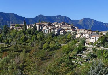
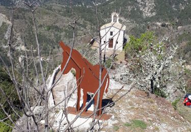
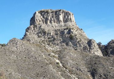
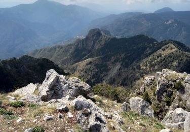
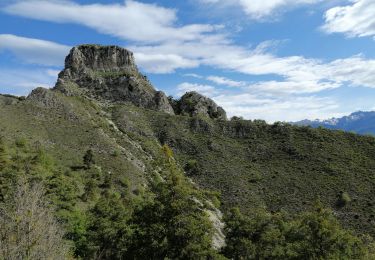
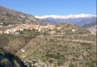
Trail Walking of 5.4 km to be discovered at Provence-Alpes-Côte d'Azur, Maritime Alps, La Tour. This trail is proposed by pierro06.
Petite randonnée sympas


On foot
Walking
Walking
Walking
On foot
Walking
Walking
Walking
Walking