


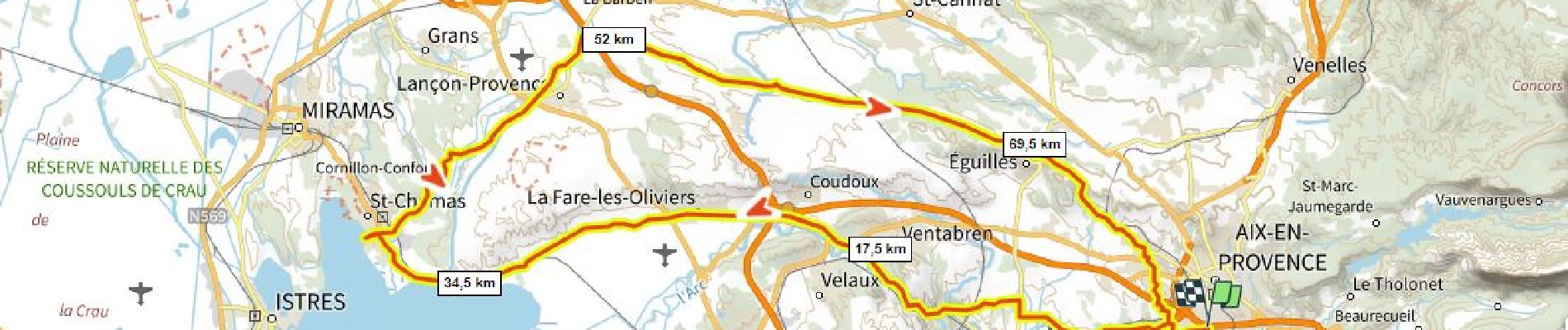
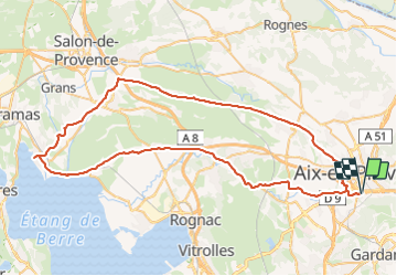
Aix St Chamas 770m+

ericberlin
User

Length
83 km

Max alt
306 m

Uphill gradient
775 m
Km-Effort
93 km

Min alt
3 m

Downhill gradient
775 m
Boucle
Yes
Creation date :
2023-07-31 14:10:16.389
Updated on :
2023-07-31 14:14:38.802
5h38
Difficulty : Very difficult

FREE GPS app for hiking
 SityTrail
IGN / Geographical institutes
SityTrail Plus
The world is yours!
About
Trail Road bike of 83 km to be discovered at Provence-Alpes-Côte d'Azur, Bouches-du-Rhône, Aix-en-Provence. This trail is proposed by ericberlin.
Photos

Positioning
Country:
France
Region :
Provence-Alpes-Côte d'Azur
Department/Province :
Bouches-du-Rhône
Municipality :
Aix-en-Provence
Location:
Unknown
Start:(Dec)
Start:(UTM)
697409 ; 4820399 (31T) N.
Comments