


Rochers du Steinberg

philvor
User
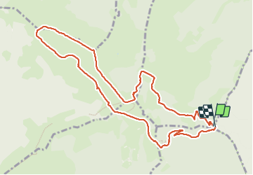

Length
11.3 km

Max alt
1266 m

Uphill gradient
599 m
Km-Effort
19.2 km

Min alt
867 m

Downhill gradient
593 m
Boucle
Yes
Creation date :
2023-09-09 06:35:41.0
Updated on :
2023-09-16 10:21:53.17
5h00
Difficulty : Very difficult

FREE GPS app for hiking
 SityTrail
IGN / Geographical institutes
SityTrail Plus
The world is yours!
About
Trail Walking of 11.3 km to be discovered at Grand Est, Haut-Rhin, Wasserbourg. This trail is proposed by philvor.
Positioning
Country:
France
Region :
Grand Est
Department/Province :
Haut-Rhin
Municipality :
Wasserbourg
Location:
Unknown
Start:(Dec)
Start:(UTM)
361769 ; 5315365 (32T) N.
Comments