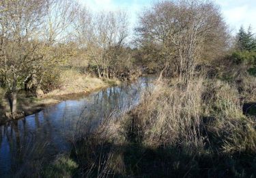
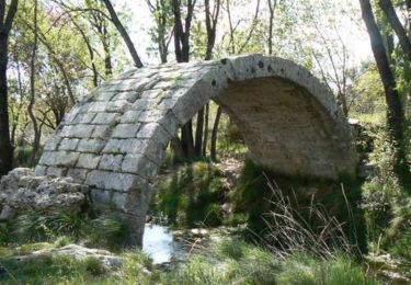
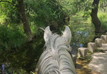
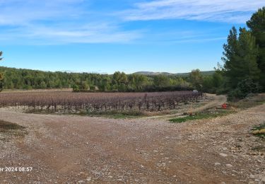
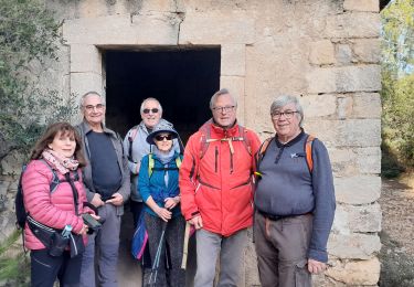
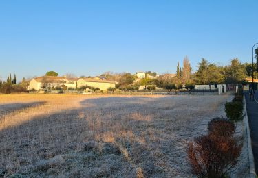
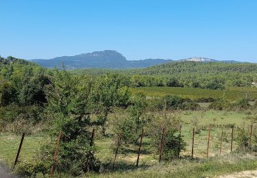
Trail Walking Teyran - 34- Teyran - Sentier de la Fontanaride - 6,1 km - 1h40.gpx - Photo

34- Teyran - Sentier de la Fontanaride - 6,1 km - 1h40.gpx

© OpenStreetMap contributors
Length
Length
6.1 km
Max alt
Max alt
104 m
Uphill gradient
Uphill gradient
54 m
Km-Effort
Km-Effort  
6.8 km
Min alt
Min alt
59 m
Downhill gradient
Downhill gradient
58 m
Boucle
Boucle
Yes
Creation date :
2015-01-27 00:00:00.0
Updated on :
2015-01-27 00:00:00.0

(4 Reviews)

Walking
Walking
1h32
Difficulty : Easy

Scan this QR Code to open this trail in the SityTrail application

FREE GPS app for hiking

Logo SityTrail SityTrail

IGN / Geographical institutes

Download SityTrail from the App Store Download SityTrail from Google Play

Logo SityTrail SityTrail World

The world is yours!

Download SityTrail from the App Store Download SityTrail from Google Play Download SityTrail on Huawei AppGallery

About

Trail Walking of 6.1 km to be discovered at Occitania, Hérault, Teyran. This trail is proposed by dansmabulle34.

Elevation profile

Positioning

Country:
France
Region :
Occitania
Department/Province :
Hérault
Municipality :
Teyran
Location:
Unknown
Start:(UTM)
575379 ; 4836762 (31T) N.

Comments

Please log in to post a review or rate the element


joli petit PR


Trails nearby

Trail Mountain bike Castries - Près du Truc de l'Empereur - Fondespierre - Photo
Mountain bike
tracegps

Mountain bike

Difficult
(1)
Castries, Occitania, Hérault, France
18.6 km | 21 km-effort
1h 30min
Yes
Trail Mountain bike Le Crès - Balade entre villages et garrigue - Le Crès - Photo
Mountain bike
tracegps

Mountain bike

Difficult
(4)
Le Crès, Occitania, Hérault, France
21 km | 23 km-effort
1h 30min
Yes
Trail Walking Castries - 2022-12-01_18h50m59_Le tour de Bannières par les petits chemins - Photo
Walking
Levant

Walking

Medium
(1)
Castries, Occitania, Hérault, France
9.3 km | 10.7 km-effort
2h 26min
Yes
Trail Horseback riding Teyran - Teyran - domaine des Restinclières boucle  - Photo
Horseback riding
GUIDE
David25400

Horseback riding

Medium
Teyran, Occitania, Hérault, France
27 km | 32 km-effort
5h 39min
No
Trail On foot Guzargues - guzargues source counillière crête antenne  14.4kms 255md sens inverseénivelé - Photo
On foot
guiller

On foot

Very easy
(1)
Guzargues, Occitania, Hérault, France
12.4 km | 15.8 km-effort
2h 30min
Yes
Trail Walking Teyran - teyran - Photo
Walking
v.rabot

Walking

Medium
Teyran, Occitania, Hérault, France
8.9 km | 10.6 km-effort
2h 24min
Yes
Trail Walking Castries - castries - Photo
Walking
bernard.calvie

Walking

Medium
Castries, Occitania, Hérault, France
6.7 km | 7.7 km-effort
1h 36min
Yes
Trail Walking Guzargues - guzargues - Photo
Walking
v.rabot

Walking

Medium
Guzargues, Occitania, Hérault, France
12.6 km | 15.4 km-effort
4h 3min
Yes
Trail Walking Assas - Assas circuit court  - Photo
Walking
vasta

Walking

Easy
Assas, Occitania, Hérault, France
8.6 km | 10.5 km-effort
3h 5min
Yes


Close
My subscriptions