


La Cuque en prolongé

BerFran
User


Length
12.3 km

Max alt
1709 m

Uphill gradient
568 m
Km-Effort
19.9 km

Min alt
1190 m

Downhill gradient
573 m
Boucle
Yes
Creation date :
2023-10-11 07:08:19.0
Updated on :
2023-10-11 12:43:11.247

FREE GPS app for hiking
 SityTrail
IGN / Geographical institutes
SityTrail Plus
The world is yours!
About
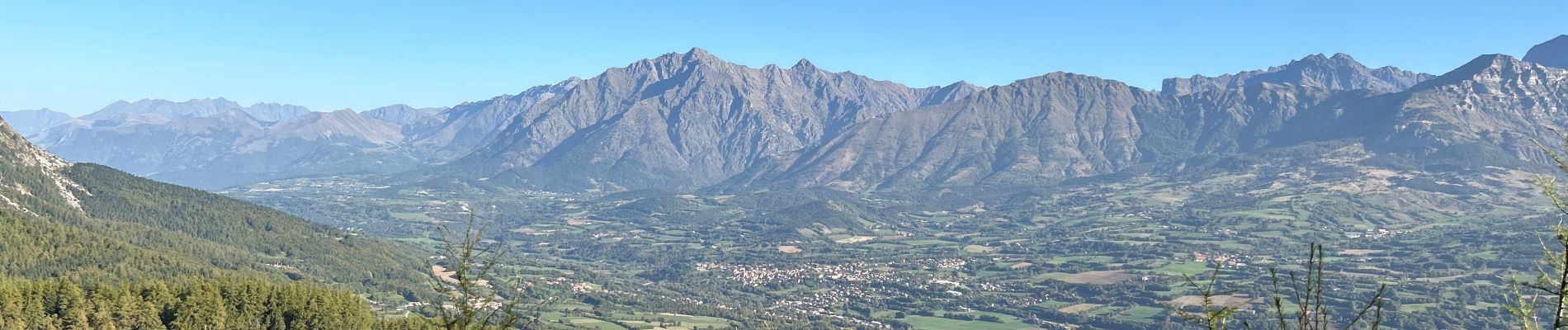
Trail of 12.3 km to be discovered at Provence-Alpes-Côte d'Azur, Hautes-Alpes, Laye. This trail is proposed by BerFran.
Photos

Positioning
Country:
France
Region :
Provence-Alpes-Côte d'Azur
Department/Province :
Hautes-Alpes
Municipality :
Laye
Location:
Unknown
Start:(Dec)
Start:(UTM)
267898 ; 4947348 (32T) N.
Comments