


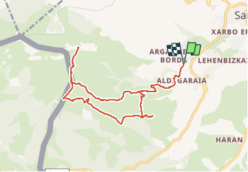


6.6 km | 8.9 km-effort

User


FREE GPS app for hiking
 SityTrail
IGN / Geographical institutes
SityTrail World
The world is yours!
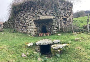
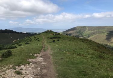
Trail Walking of 10.9 km to be discovered at New Aquitaine, Pyrénées-Atlantiques, Sare. This trail is proposed by DECHAMPD.
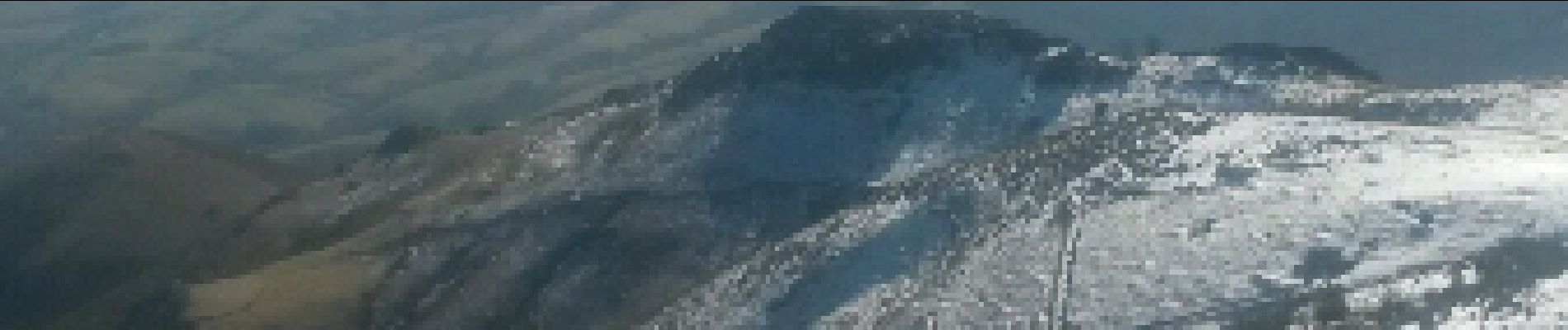
depuis Sare vers Athekaleun par BF 29 et retour par BF 30 FAAGUE 552m et chapelle d'Olhain 397m.

Walking
Walking

Walking

Walking
Walking
Walking
Walking

Walking
Mountain bike