


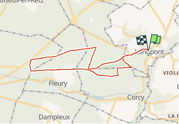


17.5 km | 21 km-effort

forêts de France


FREE GPS app for hiking
 SityTrail
IGN / Geographical institutes
SityTrail World
The world is yours!
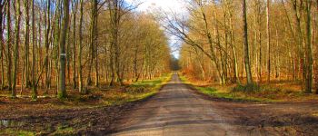
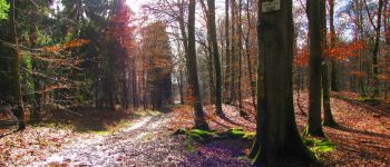
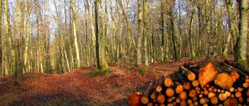
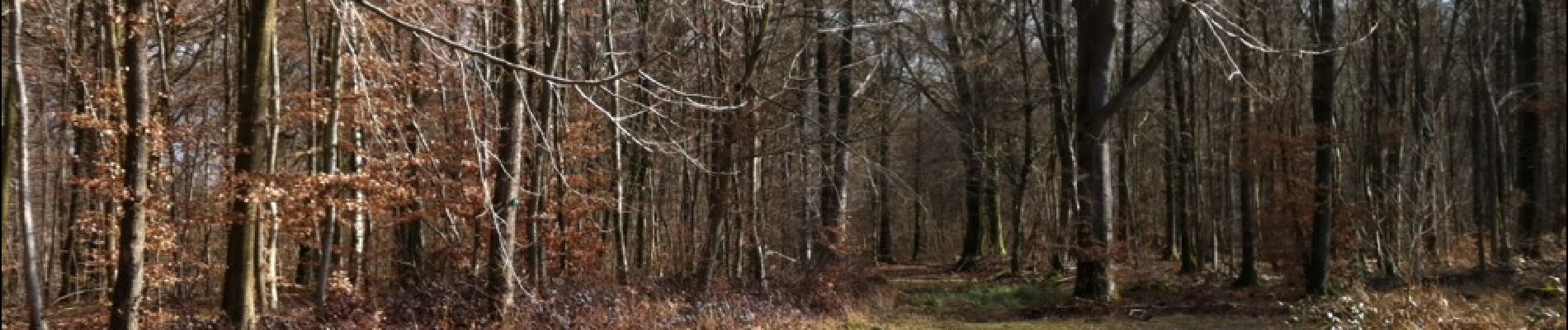
Trail Walking of 16.4 km to be discovered at Hauts-de-France, Aisne, Longpont. This trail is proposed by en forêt de Retz.
voir aussi:
http://foret-de-retz.over-blog.com/
02_2015
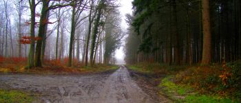
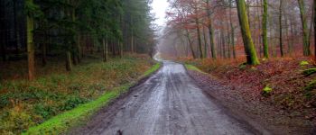
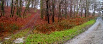
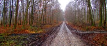
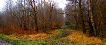
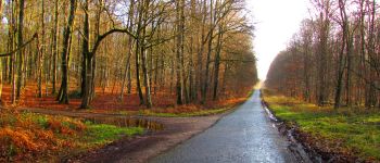
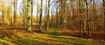
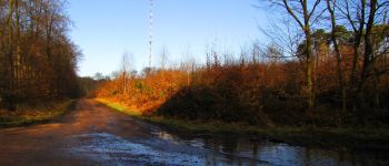
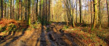
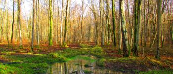
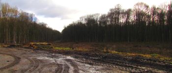
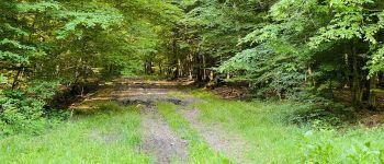
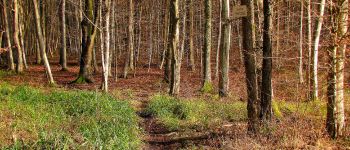
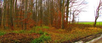
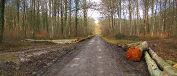
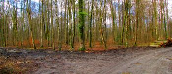
compte tenu de l'état de la forêt (boues, eau ...), cette rando se fait presque uniquement sur des chemins "durs" donc "propres".
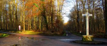
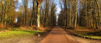
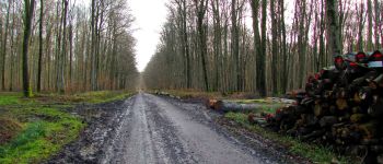
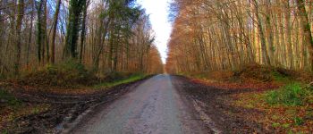
Au départ de Lonpont, prendre la D2 jusqu'au vieux chemin de Longpont. Le suivre jusqu'à la Croix Bacquet. Prendre la route des Chamarts jusqu'au carrefour de Chavigny. Suivre à gauche la route de Chavigny jusqu'à la N2 (rond d'Orléans très boueux). Prendre la laie des Masures (traverser le carrefour de la Pointe Chemise) jusqu'à la route du Pendu (ornières profondes et boue donc passage obligé dans la forêt: très difficile). Rejoindre le carrefour de la la Croix Bacquet par la route du Pendu. Prendre la route du Faîte jusqu'au carrefour des Soupirs puis la laie des Grands Charmes jusqu'au carrefour de la Tartarine. Continuer à droite sur la route du Pendu jusqu'au carrefour du Pendu. Prendre la laie de la Croix Pain Tendre jusqu'au carrefour Gaudrillard. Prendre à droite le vieux chemin de Longpont jusqu'à la D2 et rejoindre Longpont par la D2.


Walking

Walking

Walking

On foot

On foot

Walking

Walking

Walking

Walking