


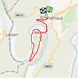


19.1 km | 27 km-effort

User GUIDE


FREE GPS app for hiking
 SityTrail
IGN / Geographical institutes
SityTrail World
The world is yours!
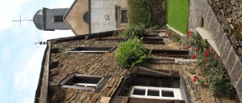
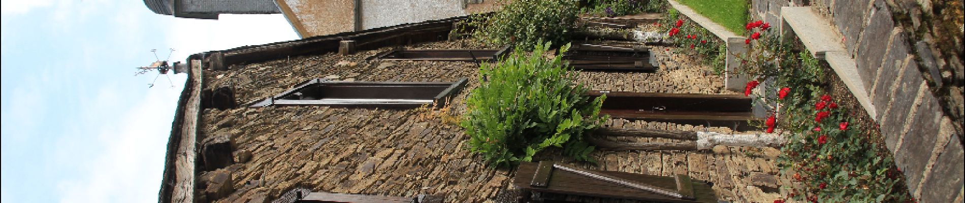
Trail Walking of 6.7 km to be discovered at Wallonia, Luxembourg, Bouillon. This trail is proposed by pascalou73.
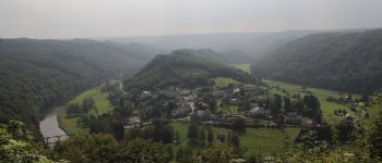
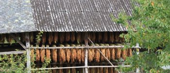
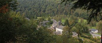
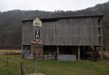
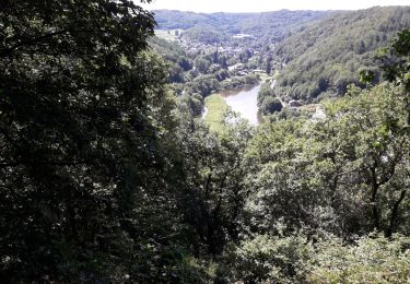
La rando des crêtes , une rando qui va vous emmener au fil de l'eau et du tabac de la Semois. Vue sur le village de Frahan.


Walking
Walking

Walking

Walking

Walking

Walking

Walking

Walking
Walking