


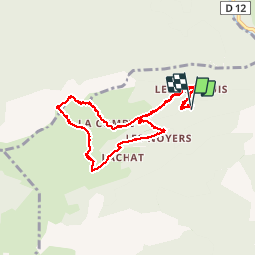

9.7 km | 15.3 km-effort


User


FREE GPS app for hiking
 SityTrail
IGN / Geographical institutes
SityTrail World
The world is yours!
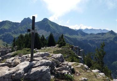
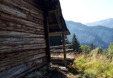
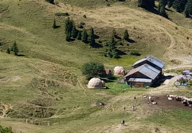
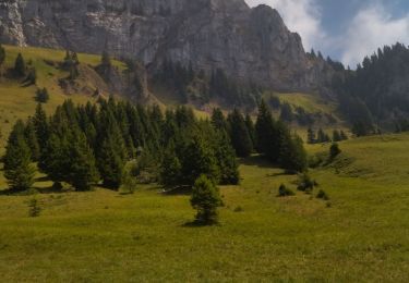
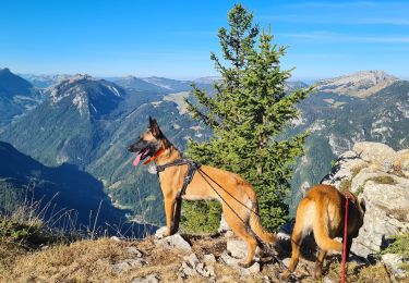
Trail Nordic walking of 11.2 km to be discovered at Auvergne-Rhône-Alpes, Upper Savoy, Glières-Val-de-Borne. This trail is proposed by paul74.
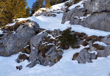
Parking avant La Sambuy Mt 960 aprés la route est verglacée .Col des Chasseurs - La Dent - Restaurant de Bellajoux - retour sur route jeepable. Raquettes utiles- 12 kms
Walking
Walking

Walking
Walking
Walking
Walking
Walking
Touring skiing
Touring skiing