


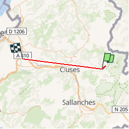

19.8 km | 37 km-effort


User


FREE GPS app for hiking
 SityTrail
IGN / Geographical institutes
SityTrail World
The world is yours!
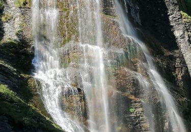
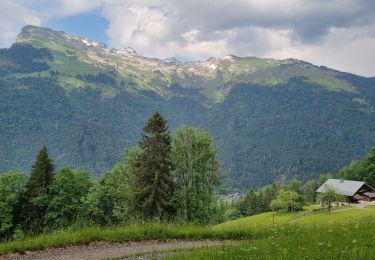
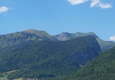
Trail Nordic walking of 46 km to be discovered at Auvergne-Rhône-Alpes, Upper Savoy, Sixt-Fer-à-Cheval. This trail is proposed by paul74.
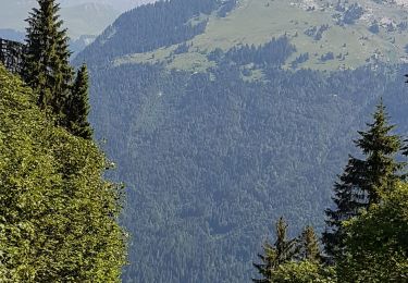
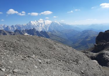
Partis pour pointe de Ressassât , mauvaises conditions . Neige à 1.500

Walking
Walking
Walking

Walking
Walking
Walking
Walking
Walking
Walking