


44 km | 116 km-effort

User


FREE GPS app for hiking
 SityTrail
IGN / Geographical institutes
SityTrail World
The world is yours!
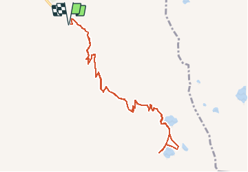
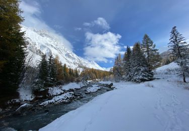
Trail Walking of 11.4 km to be discovered at Valais/Wallis, Entremont, Orsières. This trail is proposed by duamerg.
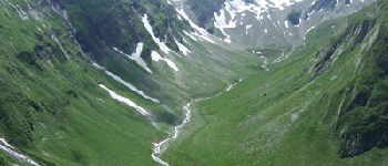
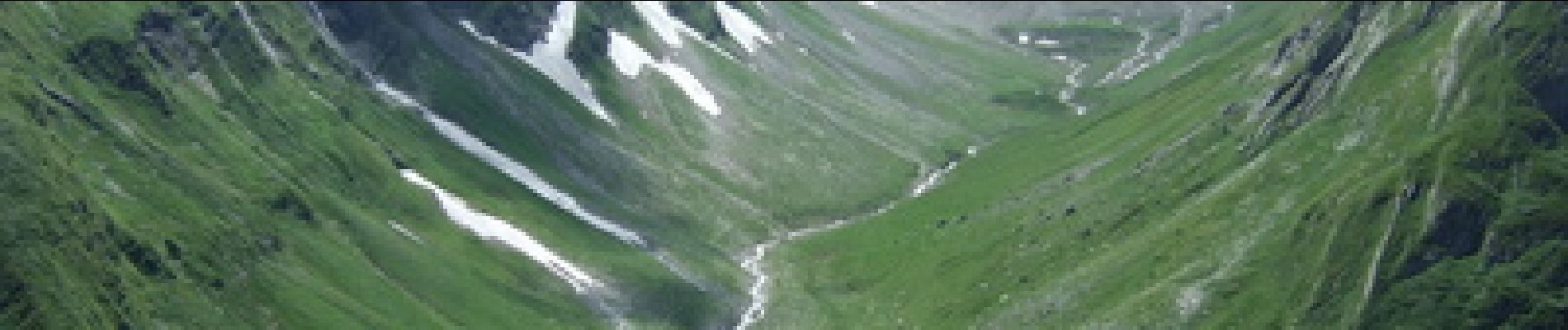
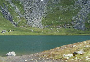
Suivre les panneaux. Attention à la neige. A faire en été
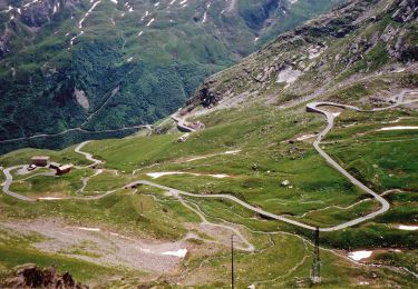
 - Photo 1")
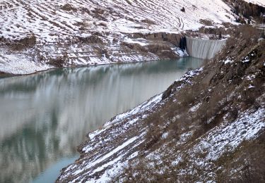
 - Photo 2")
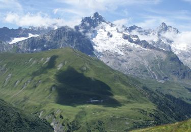
 - Photo 3")
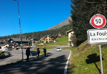
 - Photo 4")

Walking
On foot
On foot
On foot
On foot

Walking
Walking

Walking
Walking