


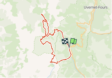


15.5 km | 24 km-effort


User


FREE GPS app for hiking
 SityTrail
IGN / Geographical institutes
SityTrail World
The world is yours!
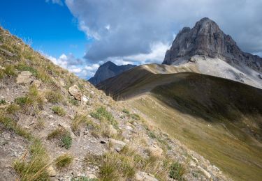
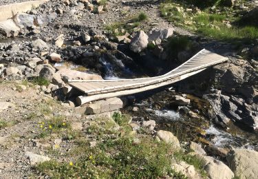
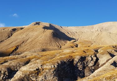
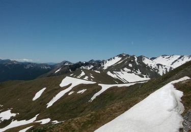
Trail Other activity of 37 km to be discovered at Provence-Alpes-Côte d'Azur, Alpes-de-Haute-Provence, Allos. This trail is proposed by herveschmitt.
refuge estrop >les eaux tortes >lavercq > sestrieres
2 ou 3 jours de marche
Walking
Walking

Mountain bike
Walking
Walking
Walking
Walking
Walking

Walking