


Cirque de Gavarnie par le plateau de Bellevue

lebarça
User
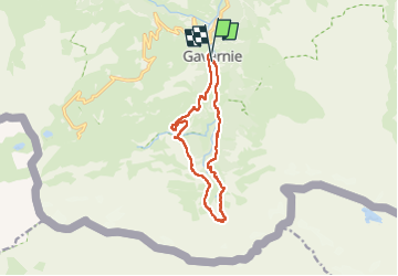

Length
13.4 km

Max alt
1871 m

Uphill gradient
701 m
Km-Effort
23 km

Min alt
1371 m

Downhill gradient
695 m
Boucle
Yes
Creation date :
2024-08-16 08:28:54.0
Updated on :
2024-08-16 14:47:54.063

FREE GPS app for hiking
 SityTrail
IGN / Geographical institutes
SityTrail Plus
The world is yours!
About
Trail of 13.4 km to be discovered at Occitania, Hautespyrenees, Gavarnie-Gèdre. This trail is proposed by lebarça.
Positioning
Country:
France
Region :
Occitania
Department/Province :
Hautespyrenees
Municipality :
Gavarnie-Gèdre
Location:
Gavarnie
Start:(Dec)
Start:(UTM)
744806 ; 4735432 (30T) N.
Comments