


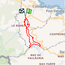


11.6 km | 18.7 km-effort

User


FREE GPS app for hiking
 SityTrail
IGN / Geographical institutes
SityTrail World
The world is yours!
Trail Walking of 14.7 km to be discovered at Occitania, Pyrénées-Orientales, Collioure. This trail is proposed by jeff66.
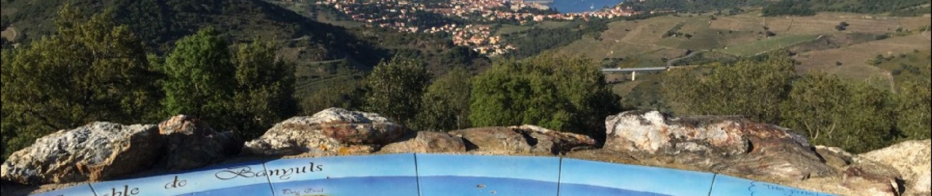
COLLIOURE 66 - vignoble - panorama sur collioure le fort ST ELME - Ermitage ND de Consolation - terrasses et châtaigniers - panoramas sur l et kg sa baie - col de la Serre - vue sur la tour de la Maussane - GR 10 - Col de Baillaury - Col del Formigo - Col dels gascons - panorama sur Banuyls/Cosprons/Cap Béar/Port-Vendres - batteries 500 - la tour MADELOC - Col de Taillefer - batterie de Taillefer- table d'orientation -


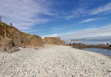
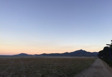
37 photos in total. Please click on a photo to see them all in the gallery.

Mountain bike

Walking
Walking

Walking

Walking

Walking

Walking

Walking
Walking