Trail Walking Champagne-sur-Seine - GLM-150507 - Champagne - Photo
 randodan
randodan

User

© OpenStreetMap contributors
Length
Length
17.3 km
Max alt
Max alt
118 m
Uphill gradient
Uphill gradient
220 m
Km-Effort
Km-Effort  
20 km
Min alt
Min alt
42 m
Downhill gradient
Downhill gradient
220 m
Boucle
Boucle
Yes
Creation date :
2015-05-23 00:00:00.0
Updated on :
2015-05-23 00:00:00.0

(1 Reviews)

Walking
Walking
4h20
Difficulty : Easy

Scan this QR Code to open this trail in the SityTrail application

FREE GPS app for hiking

Logo SityTrail SityTrail

IGN / Geographical institutes

Download SityTrail from the App Store Download SityTrail from Google Play

Logo SityTrail SityTrail World

The world is yours!

Download SityTrail from the App Store Download SityTrail from Google Play Download SityTrail on Huawei AppGallery

About

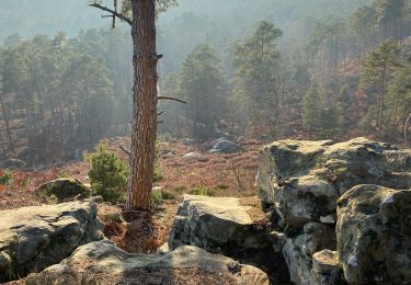
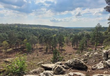
Trail Walking of 17.3 km to be discovered at Ile-de-France, Seine-et-Marne, Champagne-sur-Seine. This trail is proposed by randodan.

Description

Glou-glou autour de Champagne avec les Gais Lurons<br>
- 7 mai 2015 -<br>
9h10, départ de chez Nadine et Claude.<br>
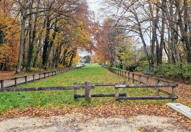
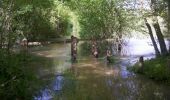
Cap au Nord par le GR2 . Descendons jusqu'à la Seine et en suivons la rive droite . Arrivés aux Basses Godernes, Glou-glou, tout est inondé, ''l'Île'' est sous près d'1 m d'eau . Nous empruntons donc l'autre rive de la lagune . Mais là aussi, glou-glou, et nous devons entrer dans le bois en hors piste . Après un passage de clôture en bordure d'un lotissement, nous revenons sur la berge de la Seine.<br>
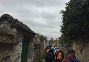
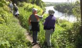
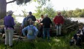
10h30, pause chamallows . Puis nous remontons en ville pour reprendre le GR2 qui maintenant surplombe Seine de 50 m . A hauteur de la Thurelle, un large 180° nous ramène dans la direction du retour . Après une tentative infructueuse pour prendre un raccourci qui n'existe plus, arrivons chez Claude et Nadine à midi et demi.<br>
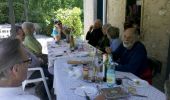
Le barbecue et tout ce qui s'en suit se prolonge jusqu'à 16h !<br>
16h10, nous ne sommes plus que 4 à partir direction la Mare Périlleuse ; mais ce sont plutôt les sentiers inondés qui sont périlleux . On devra se contenter de la Mare à Barbeau pour ne pas renter à la nuit.<br>
18h10, de retour aux voitures.<br>
10 participants le matin, 12 autour du barbecue, 4 l'après-midi.

Elevation profile

Photos

Points of interest

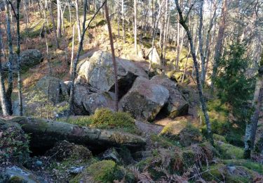
Point of interest Champagne-sur-Seine - 01 - Le sentier de l'Île des Basses Godernes disparait sous l'eau - Photo
randodan
CHAMPAGNE-SUR-SEINE 
Point of interest Champagne-sur-Seine - 02 - La pause chamallows - Photo
randodan
CHAMPAGNE-SUR-SEINE 
Point of interest Champagne-sur-Seine - 03 - Sur le GR2 surplombant la Seine - Photo
randodan
CHAMPAGNE-SUR-SEINE 
Point of interest Champagne-sur-Seine - 04 - A table - Photo
randodan
CHAMPAGNE-SUR-SEINE 
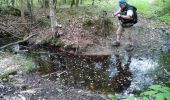
Point of interest Champagne-sur-Seine - 05 - Dans la Forêt de Champagne, un petit fossé à franchir - Photo
randodan
CHAMPAGNE-SUR-SEINE 

Positioning

Country:
France
Region :
Ile-de-France
Department/Province :
Seine-et-Marne
Municipality :
Champagne-sur-Seine
Location:
Unknown
Start:(UTM)
485521 ; 5360687 (31U) N.

Comments

Please log in to post a review or rate the element


Trails nearby

Trail Walking Fontainebleau - viennes carosses - Photo
Walking
Yannick.Boireau

Walking

Very easy
(2)
Fontainebleau, Ile-de-France, Seine-et-Marne, France
10.8 km | 14 km-effort
2h 50min
Yes
Trail Other activity Thomery - forêt de fontainebleau  - Photo
Other activity
bellicaud

Other activity

Medium
(1)
Thomery, Ile-de-France, Seine-et-Marne, France
20 km | 23 km-effort
5h 40min
Yes
Trail On foot Saint-Mammès - Batellerie et foret - Photo
On foot
PRO

On foot

Easy
Saint-Mammès, Ile-de-France, Seine-et-Marne, France
8.6 km | 9.9 km-effort
2h 14min
Yes
Trail On foot Moret-Loing-et-Orvanne - Entre Loing et Orvanne - Photo
On foot
PRO

On foot

Easy
Moret-Loing-et-Orvanne, Ile-de-France, Seine-et-Marne, France
12.8 km | 15.1 km-effort
3h 26min
No
Trail On foot Thomery - randogps77-83 - Photo
On foot

On foot

Difficult
(1)
Thomery, Ile-de-France, Seine-et-Marne, France
25 km | 30 km-effort
6h 18min
Yes
Trail Walking Fontainebleau - Fontainebleau tour est - Photo
Walking

Walking

Difficult
(4)
Fontainebleau, Ile-de-France, Seine-et-Marne, France
22 km | 27 km-effort
6h 10min
Yes
Trail Walking Fontainebleau - Fait 02/23 TB  Malmontagne + Haut Mont +  Long Rocher  - Photo
Walking
jl77130

Walking

Medium
Fontainebleau, Ile-de-France, Seine-et-Marne, France
9.8 km | 13.2 km-effort
2h 53min
Yes
Trail On foot Fontainebleau - Sur les traces de Rosa Bonheur - Thomery - Photo
On foot
chessyca

On foot

Medium
Fontainebleau, Ile-de-France, Seine-et-Marne, France
30 km | 35 km-effort
7h 53min
Yes
Trail On foot Fontainebleau - Fontainebleau - Moret - Montigny - Photo
On foot
chessyca

On foot

Medium
Fontainebleau, Ile-de-France, Seine-et-Marne, France
30 km | 35 km-effort
7h 55min
Yes


Close
My subscriptions