


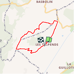

12.7 km | 18 km-effort

User


FREE GPS app for hiking
 SityTrail
IGN / Geographical institutes
SityTrail World
The world is yours!
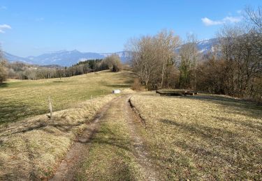
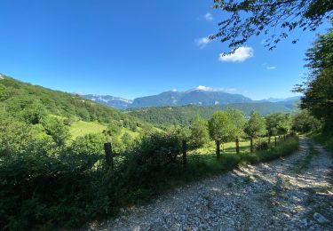
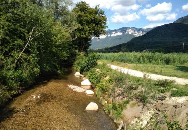
Trail Walking of 6.8 km to be discovered at Auvergne-Rhône-Alpes, Isère, Saint-Laurent-du-Pont. This trail is proposed by bianchireg.
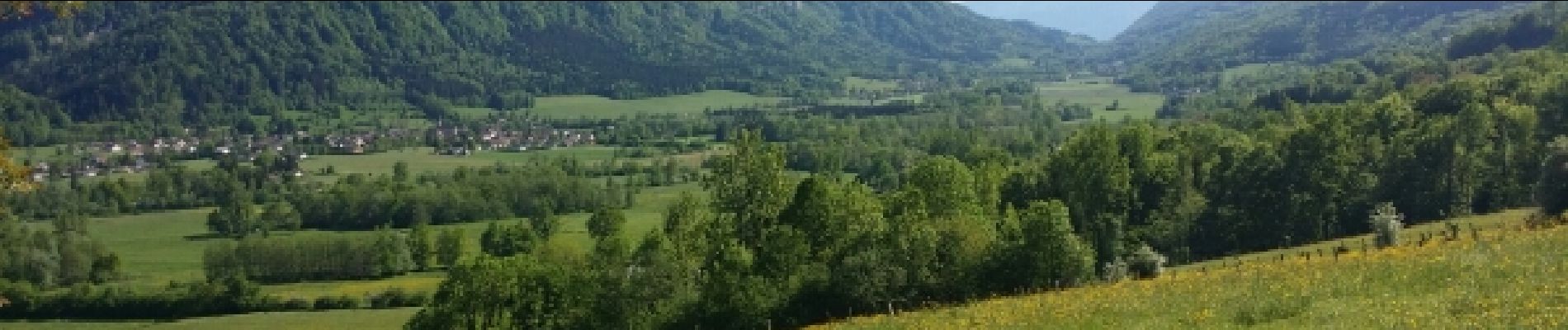
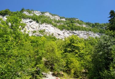
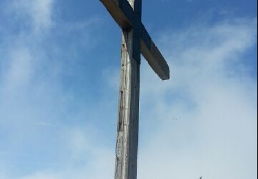
Face aux parois de la Chartreuse occidentale

Walking

Horseback riding
Horseback riding
Walking
Walking
Walking
Walking
Walking
Other activity
Pour toute la famille, dans les alpages et les lieux - dits.