


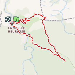


11.2 km | 15.3 km-effort


User


FREE GPS app for hiking
 SityTrail
IGN / Geographical institutes
SityTrail World
The world is yours!
Trail Walking of 10.7 km to be discovered at Occitania, Pyrénées-Orientales, Sorède. This trail is proposed by force.
Départ vallée heureuse
Chemin à gauche au dessus du premier pont après le pont de la Resclosa


Walking

Walking

Walking

Walking
Walking

Walking

On foot

Walking
Walking
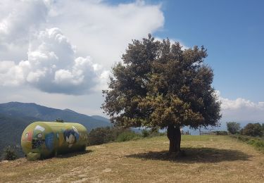
superbe rando