


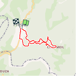

10.1 km | 22 km-effort


User


FREE GPS app for hiking
 SityTrail
IGN / Geographical institutes
SityTrail World
The world is yours!
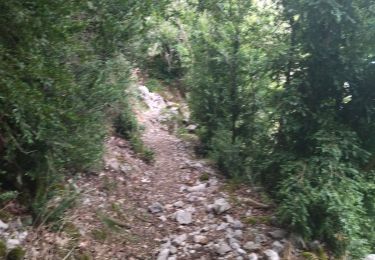
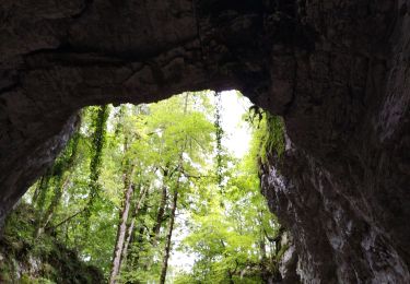
Trail Walking of 5.6 km to be discovered at Auvergne-Rhône-Alpes, Isère, Presles. This trail is proposed by calvaYnada.

Walking

Walking

Walking
Walking
Mountain bike
Walking
Walking
Walking
Nordic walking
petit tour sympa a la sortie de Presles..l'aller sur les sentiers est bien..le retour par la route un peu moins..c'est un petit échantillon de ce que l'on peut faire en plus grand autour de Presles..a faire en rando, VTT ou trail..