Trail Walking Longpont - en foret de Retz_33_Longpont_Vouty_Faverolles_AR - Photo

en foret de Retz_33_Longpont_Vouty_Faverolles_AR

forêts de France

© OpenStreetMap contributors
Length
Length
23 km
Max alt
Max alt
200 m
Uphill gradient
Uphill gradient
454 m
Km-Effort
Km-Effort  
29 km
Min alt
Min alt
86 m
Downhill gradient
Downhill gradient
453 m
Boucle
Boucle
Yes
Creation date :
2017-03-06 00:00:00.0
Updated on :
2020-11-08 11:12:55.812

(0 Reviews)

Walking
Walking
6h34
Difficulty : Difficult

Scan this QR Code to open this trail in the SityTrail application

FREE GPS app for hiking

Logo SityTrail SityTrail

IGN / Geographical institutes

Download SityTrail from the App Store Download SityTrail from Google Play

Logo SityTrail SityTrail World

The world is yours!

Download SityTrail from the App Store Download SityTrail from Google Play Download SityTrail on Huawei AppGallery

About

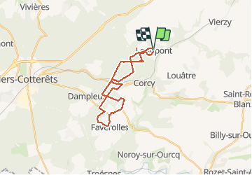
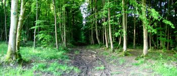
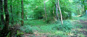
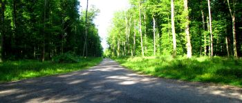
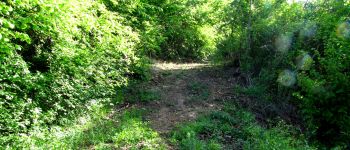
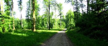
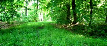
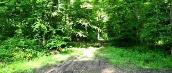
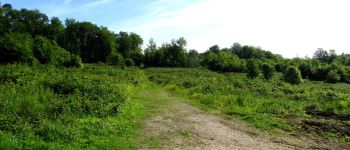
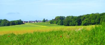
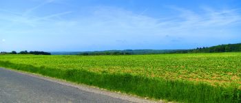
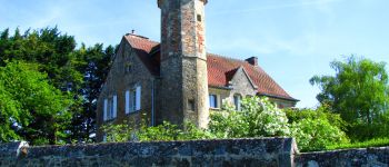
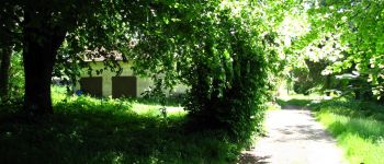
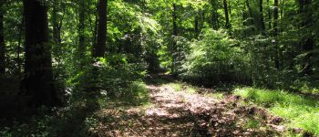
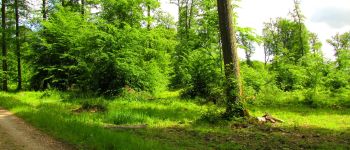
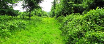
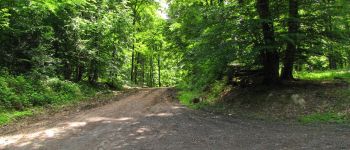
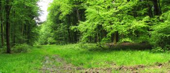
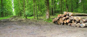
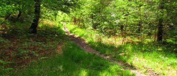
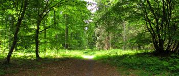
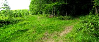
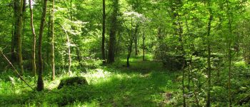
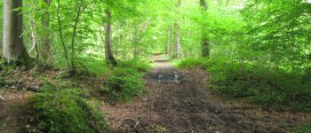
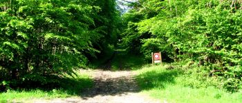
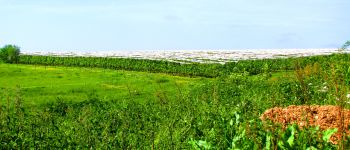
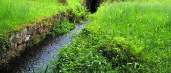
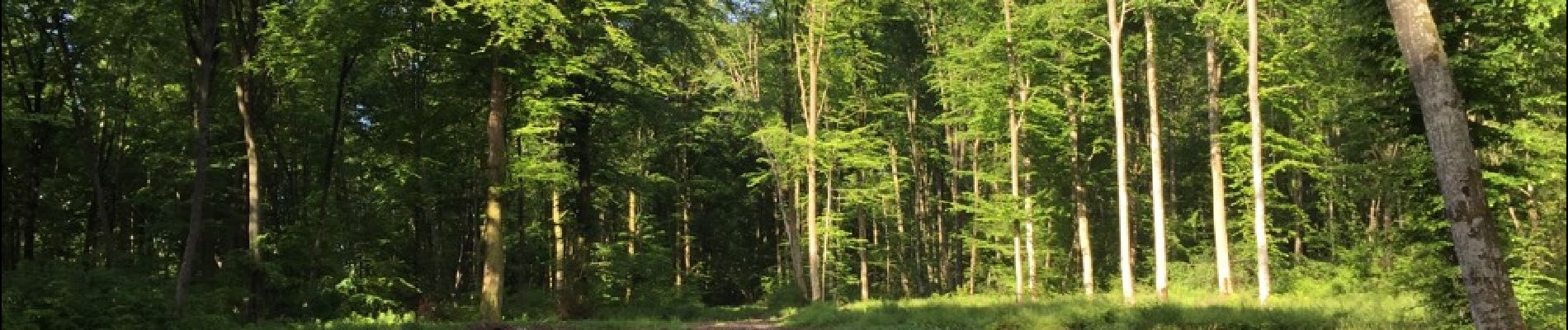
Trail Walking of 23 km to be discovered at Hauts-de-France, Aisne, Longpont. This trail is proposed by en forêt de Retz.

Description

voir aussi:
http://foret-de-retz.over-blog.com/

05/2015

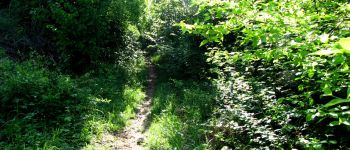
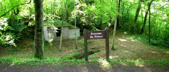
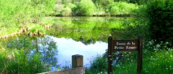
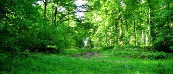
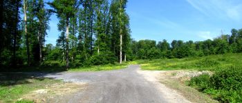
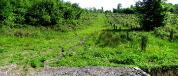
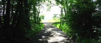
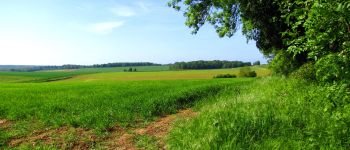
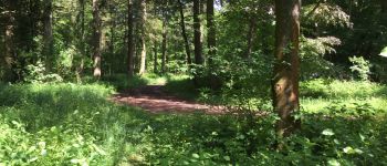
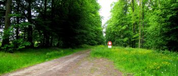
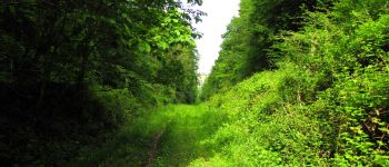
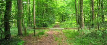
Au départ de l'Abbaye de Longpont, prendre la D2 vers la N2. Rejoindre le chemin de Longpont et prendre à gauche du carrefour Bosc la laie des Grands Charmes jusqu'au carrefour des Places Fraîches. Prendre à gauche la laie de l'étang jusqu'au chemin surplombant la voie ferrée. La traverser puis suivre jusqu'à l'étang de la Petite Ramée.Traverser la D80 et suivre la Route Droite jusqu'au carrefour des Vignes. Suivre la laie des Vignes puis prendre à droite la D17. Traverser Vouty, Faverolles et rejoindre la Maison Forestière de Faverolles. La contourner et suivre à droite le chemin jusqu'à la D973. Prendre à gauche un chemin (pour éviter la D973) jusqu'au carrefour de Barbaçon. Suivre ensuite à droite la laie de la Poudrerie jusqu'au carrefour du Trou de Terelle. Prendre à droite la laie de Hautwison puis à gauche la laie de la Chaussée jusqu'à l'étang de la Grande Ramée. Rejoindre l'étang de la Petite Ramée en longeant en contre bas le ruisseau. Prendre à droite et traverser la voie ferrée. Suivre la Route Droite jusqu'au carrefour de Château Fée. Prendre à droite la Route du Pendu jusqu'au carrefour du Pendu. Rejoindre à gauche la laie du Vieux Mur jusqu'au GR11A. Le suire jusqu'à la route de Corcy (D17) et rentrer à Longpont.

Elevation profile

Photos

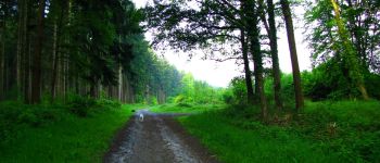
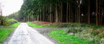
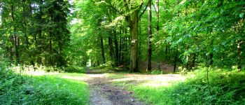
172 photos in total. Please click on a photo to see them all in the gallery.

Points of interest

Point of interest Montgobert - Point 1 - Photo
JeanLucA4
MONTGOBERT 
Point of interest Montgobert - Point 2 - Photo
JeanLucA4
MONTGOBERT 
Point of interest Montgobert - Point 3 - Photo
JeanLucA4
MONTGOBERT 
Point of interest Corcy - Point 4 - Photo
JeanLucA4
CORCY 
Point of interest Corcy - Point 5 - Photo
JeanLucA4
CORCY 
Point of interest Corcy - Point 6 - Photo
JeanLucA4
CORCY 
Point of interest Corcy - Point 8 - Photo
JeanLucA4
CORCY 
Point of interest Corcy - Point 9 - Photo
JeanLucA4
CORCY 
Point of interest Corcy - Point 10 - Photo
JeanLucA4
CORCY 
Point of interest Corcy - Point 11 - Photo
JeanLucA4
CORCY 
Point of interest Fleury - Point 1 - Photo
JeanLucA4
FLEURY 
Point of interest Dampleux - Point 14 - Photo
JeanLucA4
DAMPLEUX 
Point of interest Dampleux - Point 15 - Photo
JeanLucA4
DAMPLEUX 
Point of interest Faverolles - Point 16 - Photo
JeanLucA4
FAVEROLLES 
Point of interest Faverolles - Point 17 - Photo
JeanLucA4
FAVEROLLES 
Point of interest Faverolles - Point 18 - Photo
JeanLucA4
FAVEROLLES 
Point of interest Faverolles - Point 19 - Photo
JeanLucA4
FAVEROLLES 
Point of interest Faverolles - Point 20 - Photo
JeanLucA4
FAVEROLLES 
Point of interest Faverolles - Point 21 - Photo
JeanLucA4
FAVEROLLES 
Point of interest Faverolles - Point 22 - Photo
JeanLucA4
FAVEROLLES 
Point of interest Faverolles - Point 25 - Photo
JeanLucA4
FAVEROLLES 
Point of interest Faverolles - Point 26 - Photo
JeanLucA4
FAVEROLLES 
Point of interest Faverolles - Point 27 - Photo
JeanLucA4
FAVEROLLES 
Point of interest Faverolles - Point 28 - Photo
JeanLucA4
FAVEROLLES 
Point of interest Faverolles - Point 29 - Photo
JeanLucA4
FAVEROLLES 
Point of interest Faverolles - Point 30 - Photo
JeanLucA4
FAVEROLLES 
Point of interest Faverolles - Point 31 - Photo
JeanLucA4
FAVEROLLES 
Point of interest Faverolles - Point 32 - Photo
JeanLucA4
FAVEROLLES 
Point of interest Faverolles - Point 33 - Photo
JeanLucA4
FAVEROLLES 
Point of interest Faverolles - Point 34 - Photo
JeanLucA4
FAVEROLLES 
Point of interest Faverolles - Point 35 - Photo
JeanLucA4
FAVEROLLES 
Point of interest Faverolles - Point 36 - Photo
JeanLucA4
FAVEROLLES 
Point of interest Corcy - Point 37 - Photo
JeanLucA4
CORCY 
Point of interest Corcy - Point 38 - Photo
JeanLucA4
CORCY 
Point of interest Corcy - Point 40 - Photo
JeanLucA4
CORCY 
Point of interest Corcy - Point 41 - Photo
JeanLucA4
CORCY 
Point of interest Montgobert - Point 42 - Photo
JeanLucA4
MONTGOBERT 
Point of interest Montgobert - Point 43 - Photo
JeanLucA4
MONTGOBERT 
Point of interest Montgobert - Point 44 - Photo
JeanLucA4
MONTGOBERT 
Point of interest Montgobert - Point 45 - Photo
JeanLucA4
MONTGOBERT 
Point of interest Longpont - Point 46 - Photo
JeanLucA4
LONGPONT 
Point of interest Longpont - Point 47 - Photo
JeanLucA4
LONGPONT 
Point of interest Longpont - depart - Photo
JeanLucA4
LONGPONT 
Point of interest Fleury - Point 12 - Photo
JeanLucA4
FLEURY 
Point of interest Faverolles - Point 23 - Photo
JeanLucA4
FAVEROLLES 
Point of interest Faverolles - Point 24 - Photo
JeanLucA4
FAVEROLLES 
Point of interest Corcy - Point 39 - Photo
JeanLucA4
CORCY 
Point of interest Longpont - Arrivée - Photo
JeanLucA4
LONGPONT 

Positioning

Country:
France
Region :
Hauts-de-France
Department/Province :
Aisne
Municipality :
Longpont
Location:
Unknown
Start:(UTM)
515981 ; 5457841 (31U) N.

Trails nearby

Trail Walking Longpont - en forêt de Retz_19_Longpont_carrefour de Vauvaudran_AR - Photo
Walking

Walking

Medium
(1)
Longpont, Hauts-de-France, Aisne, France
17.5 km | 21 km-effort
4h 10min
Yes
Trail Walking Corcy - FLEURY .AISNE  - Photo
Walking
TURLUPIN2010

Walking

Medium
Corcy, Hauts-de-France, Aisne, France
5.7 km | 7.9 km-effort
1h 25min
Yes
Trail Walking Corcy - en forêt de Retz_91_04_2022_la Laie de la Belle Epine - Photo
Walking

Walking

Difficult
Corcy, Hauts-de-France, Aisne, France
10.6 km | 13.3 km-effort
3h 32min
Yes
Trail On foot Puiseux-en-Retz - Route du Faîte - Photo
On foot
PRO

On foot

Easy
Puiseux-en-Retz, Hauts-de-France, Aisne, France
5.8 km | 7.1 km-effort
1h 37min
No
Trail On foot Longpont - en forêt de Retz_22_Longpont_Rond d'Orléans_AR - Photo
On foot

On foot

Medium
Longpont, Hauts-de-France, Aisne, France
14.6 km | 17.5 km-effort
Unknown
Yes
Trail Walking Montgobert - en forêt de Retz_83_les Champs Mentard_le Fond d'Argent - Photo
Walking

Walking

Medium
Montgobert, Hauts-de-France, Aisne, France
13.6 km | 16.2 km-effort
3h 46min
Yes
Trail Walking Longpont - en forêt de Retz_77_Longpont_Puiseux en Retz_AR - Photo
Walking

Walking

Difficult
Longpont, Hauts-de-France, Aisne, France
22 km | 27 km-effort
6h 4min
Yes
Trail Walking Montgobert - en forêt de Retz_75_promenade familiale tout temps - Photo
Walking

Walking

Very easy
Montgobert, Hauts-de-France, Aisne, France
3.9 km | 4.7 km-effort
1h 25min
Yes
Trail Walking Longpont - en forêt de Retz_73_ballade (5) en toute saison - Photo
Walking

Walking

Easy
Longpont, Hauts-de-France, Aisne, France
9.1 km | 10.8 km-effort
2h 6min
Yes


Close
My subscriptions