


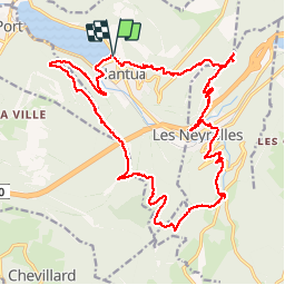

12.1 km | 24 km-effort


User


FREE GPS app for hiking
 SityTrail
IGN / Geographical institutes
SityTrail World
The world is yours!
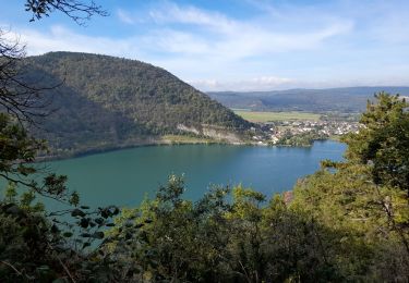
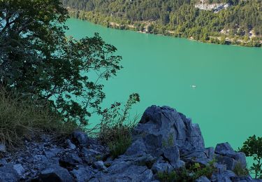
Trail Walking of 24 km to be discovered at Auvergne-Rhône-Alpes, Ain, Nantua. This trail is proposed by tgvpatrickfavre.
départ esplanade du lac grange des pauvre fond de sème descente sur les neyrolles colliard les monts d ain le signal chamoise et nantua

Walking
Walking

Walking
On foot
On foot

On foot

On foot
Walking
Walking