


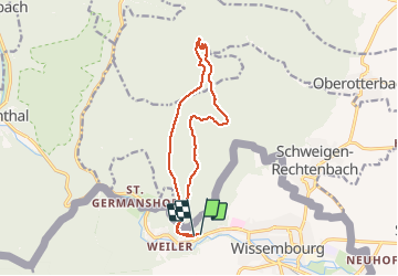


20 km | 27 km-effort


User


FREE GPS app for hiking
 SityTrail
IGN / Geographical institutes
SityTrail World
The world is yours!
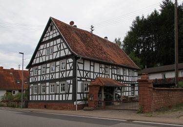
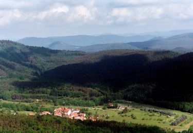
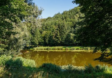
Trail Walking of 13.8 km to be discovered at Grand Est, Bas-Rhin, Wissembourg. This trail is proposed by Dutyrider.
sortie dominicale avec Cooky.


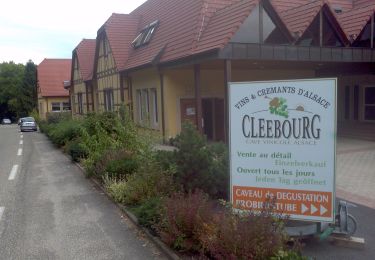
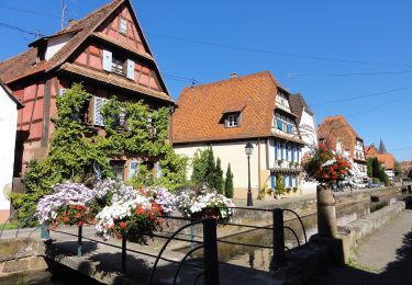
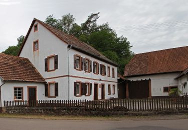
25 photos in total. Please click on a photo to see them all in the gallery.


On foot
On foot
On foot

On foot
On foot
On foot
On foot
On foot