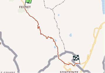


37 km | 70 km-effort


User


FREE GPS app for hiking
 SityTrail
IGN / Geographical institutes
SityTrail World
The world is yours!
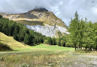
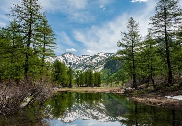
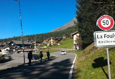
Trail Walking of 10.2 km to be discovered at Valais/Wallis, Entremont, Orsières. This trail is proposed by verbier.
From the high mountain pasture Les Ars, go on the path to the pasture of Plan-La-Chaux, then take the path to the left to the Lacs Fenêtre. The path goes on to the Col Fenêtre, at the frontier between Switzerland and Italy, then go back down for the Grand-St-Bernard pass road. The path follows that road to the arrival at the hospice.
Variant 1: From the Lacs Fenêtre, take the path to the left through the other side, to the Col des Bastillons and Col des Chevaux before to arrive at the Grand-St-Bernard pass.
On foot
On foot
On foot

Walking
Walking

Walking
Walking
Walking