


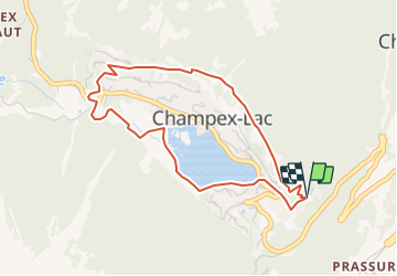


4.3 km | 6.4 km-effort


User


FREE GPS app for hiking
 SityTrail
IGN / Geographical institutes
SityTrail World
The world is yours!
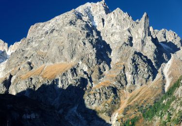
Trail Walking of 4.1 km to be discovered at Valais/Wallis, Entremont, Orsières. This trail is proposed by verbier.
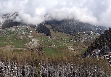
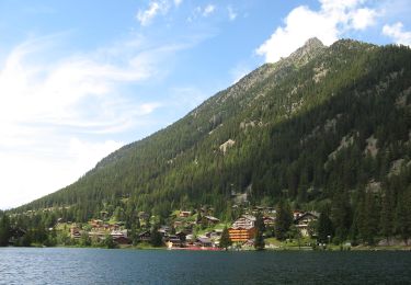
Venez à la découverte de ce beau sentier, partant depuis l''entrée de Champex, vers le Chalet Alpina, prendre le chemin dans la forêt qui monte pour passer sur les hauts de Champex, avant de rejoindre le jardin alpin. Le chemin passe vers le camping, traverse la route pour reprendre dans la forêt jusqu''au bord du lac. Terminer la boucle par le tour du Lac de Champex. Tout au long, profitez des divers panneaux didactiques, qui vont renseigneront sur notre région.
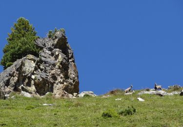
1 La Faune de montagne
2 Les Eboulis
3 La Formation du lac
4 Le Jardin alpin
5 La Pessière
6 La Tourbière
7 Le Bas-marais
8 Au bord du lac
On foot
On foot

On foot
On foot
On foot
Walking
Snowshoes

Walking

Walking