


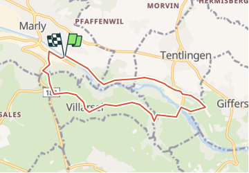

5.1 km | 7.1 km-effort


User


FREE GPS app for hiking
 SityTrail
IGN / Geographical institutes
SityTrail World
The world is yours!
Trail Other activity of 7.8 km to be discovered at Fribourg, Sarine District, Marly. This trail is proposed by nordicmarly.
Parcours santé
Parking du stade
Traverser la passerelle du stade
Direction Stersmühle
Rejoindre la route qui descend
Traverser la route, dir. La Grotte
la Grotte pt 734
Stutzliweg
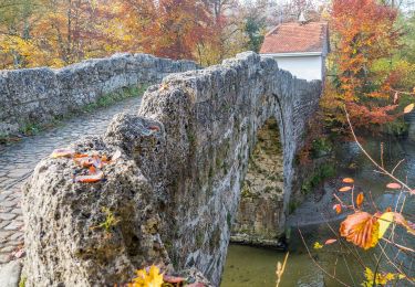
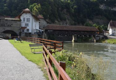
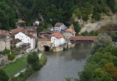
Traverser le pont
Brädelen
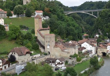
La Rochette
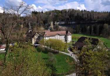
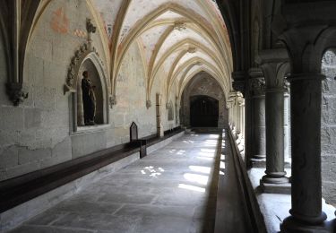
La Commanderie
Villarsel-sur-marly
La Pi Tord
L''Ancienne Crausaz
Rte de Corbaroche
Parking du stade
On foot
On foot
On foot
On foot
On foot
On foot
On foot
On foot
On foot