


5.1 km | 7.1 km-effort


User


FREE GPS app for hiking
 SityTrail
IGN / Geographical institutes
SityTrail World
The world is yours!
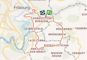
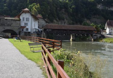
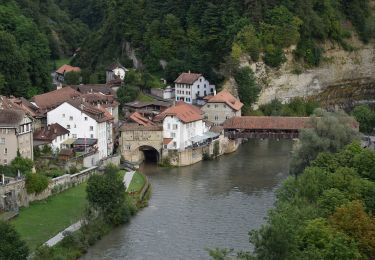
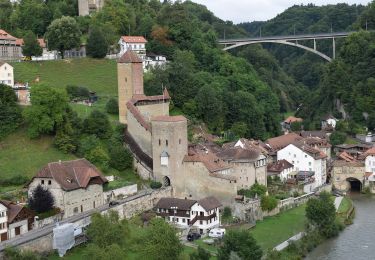
Trail Other activity of 8.1 km to be discovered at Fribourg, Sarine District, Fribourg - Freiburg. This trail is proposed by nordicmarly.
Bourguillon
Rte Bourgillon
Sentier Dürrenbuhl
Rte de la Plame
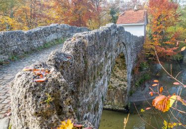
Pont de Berne
Auge (longer la Sarine)
Pont du milieu
Karrweg
Ch. St-Jost
Ch. de Lorette
Rte de Bourgillon
La Schürra
Granges-sur-Marly
Pierrafortscha
Römerswil
Descendre la rte du Lac-noir
Prendre à droite ds quartier pt 684
Bourguillon
On foot
On foot
On foot
On foot
On foot
On foot
On foot
On foot
On foot