Trail Mountain bike Chatou - seine en selle  - Photo
© OpenStreetMap contributors
Length
Length
76 km
Max alt
Max alt
97 m
Uphill gradient
Uphill gradient
556 m
Km-Effort
Km-Effort  
83 km
Min alt
Min alt
13 m
Downhill gradient
Downhill gradient
558 m
Boucle
Boucle
Yes
Creation date :
2015-06-13 00:00:00.0
Updated on :
2015-06-13 00:00:00.0

(0 Reviews)

Mountain bike
Mountain bike
--
Difficulty : Very easy

Scan this QR Code to open this trail in the SityTrail application

FREE GPS app for hiking

Logo SityTrail SityTrail

IGN / Geographical institutes

Download SityTrail from the App Store Download SityTrail from Google Play

Logo SityTrail SityTrail World

The world is yours!

Download SityTrail from the App Store Download SityTrail from Google Play Download SityTrail on Huawei AppGallery

About

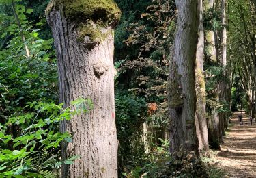
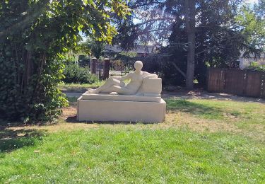
Trail Mountain bike of 76 km to be discovered at Ile-de-France, Yvelines, Chatou. This trail is proposed by leroygibbs.

Description

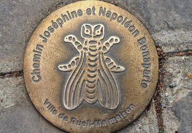
rando cyclole long de la seinede Le Pecq a Les mureaux

Elevation profile

Positioning

Country:
France
Region :
Ile-de-France
Department/Province :
Yvelines
Municipality :
Chatou
Location:
Unknown
Start:(Dec)
Start:(UTM)
438504 ; 5415613 (31U) N.

Trails nearby

Trail Walking Bougival - Bougival-Saint-cucufa reel - Photo
Walking
perlimpinpin59

Walking

(1)
Bougival, Ile-de-France, Yvelines, France
7.7 km | 10.3 km-effort
2h 29min
Yes
Trail Walking Saint-Germain-en-Laye - SityTrail - 202230519 RS 5km - Photo
Walking
patb54

Walking

Easy
(1)
Saint-Germain-en-Laye, Ile-de-France, Yvelines, France
5 km | 5.6 km-effort
1h 16min
Yes
Trail On foot Rueil-Malmaison - SityTrail - 3850997 - rando-chatou (1) - Photo
On foot
chessyca

On foot

Medium
Rueil-Malmaison, Ile-de-France, Hauts-de-Seine, France
32 km | 37 km-effort
8h 22min
No
Trail Walking Le Pecq - 20230707 RS - Photo
Walking
patb54

Walking

Easy
(1)
Le Pecq, Ile-de-France, Yvelines, France
5 km | 5.8 km-effort
1h 19min
Yes
Trail Walking Saint-Germain-en-Laye - Audax St Germain en Laye - Paris Tour Eiffel - Photo
Walking
chessyca

Walking

Easy
Saint-Germain-en-Laye, Ile-de-France, Yvelines, France
29 km | 35 km-effort
4h 59min
No
Trail Walking La Celle-Saint-Cloud - 2022-10-14_12h45m19_de bougival à rueil malmaison - Photo
Walking
jpcccb

Walking

Difficult
(1)
La Celle-Saint-Cloud, Ile-de-France, Yvelines, France
14.4 km | 17.5 km-effort
3h 58min
No
Trail Walking Rueil-Malmaison - De Rueil Malmaison aux Serres d'Auteuil via Suresnes - Photo
Walking
chessyca

Walking

Very easy
Rueil-Malmaison, Ile-de-France, Hauts-de-Seine, France
22 km | 26 km-effort
5h 3min
No
Trail Walking Rueil-Malmaison - Domaine Malmaison - Cité jardin Suresnes - Boulogne - Serres d'Auteuil - Photo
Walking
chessyca

Walking

Easy
Rueil-Malmaison, Ile-de-France, Hauts-de-Seine, France
22 km | 27 km-effort
4h 54min
No
Trail Walking Rueil-Malmaison - De rueil Malmaison à St Germain en Laye - Photo
Walking
chessyca

Walking

Medium
Rueil-Malmaison, Ile-de-France, Hauts-de-Seine, France
28 km | 32 km-effort
5h 56min
No


Close
My subscriptions