


boucle chapelle stAmans

machafla
User
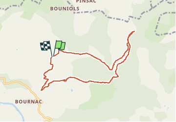

Length
9.1 km

Max alt
483 m

Uphill gradient
202 m
Km-Effort
11.9 km

Min alt
347 m

Downhill gradient
208 m
Boucle
Yes
Creation date :
2025-03-27 12:55:55.658
Updated on :
2025-04-10 14:16:56.41
2h07
Difficulty : Medium

FREE GPS app for hiking
 SityTrail
IGN / Geographical institutes
SityTrail Plus
The world is yours!
About
Trail Walking of 9.1 km to be discovered at Occitania, Aveyron, Saint-Affrique. This trail is proposed by machafla.
Positioning
Country:
France
Region :
Occitania
Department/Province :
Aveyron
Municipality :
Saint-Affrique
Location:
Unknown
Start:(Dec)
Start:(UTM)
484235 ; 4871104 (31T) N.
Comments