


24 km | 29 km-effort
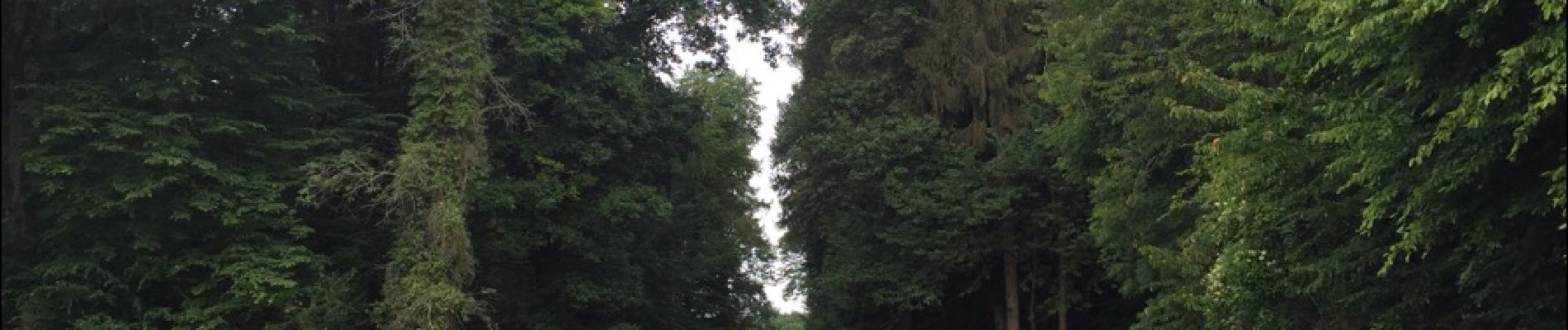

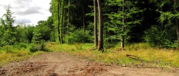
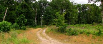
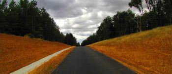
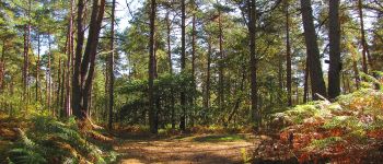
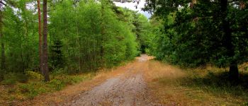
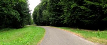
forêts de France


FREE GPS app for hiking
 SityTrail
IGN / Geographical institutes
SityTrail World
The world is yours!
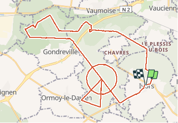
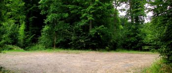
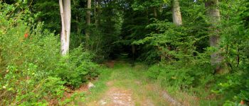
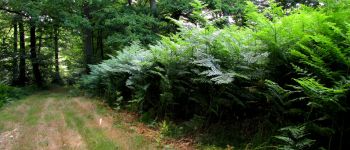
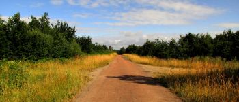
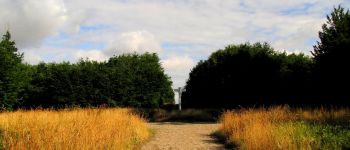
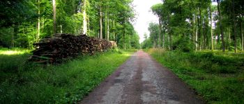
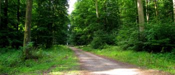
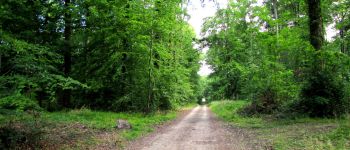
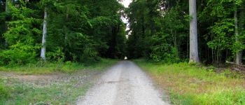
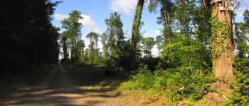
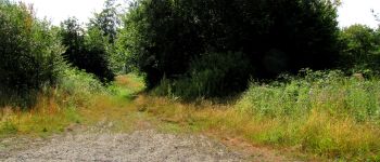
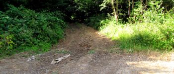
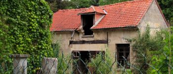
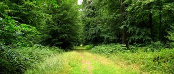
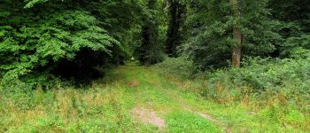
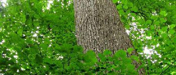
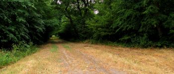
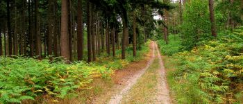
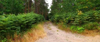
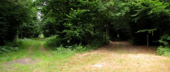
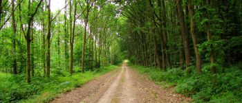
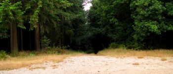
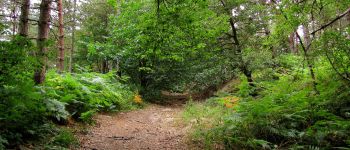
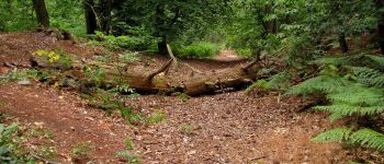
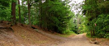
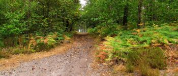
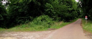
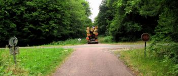
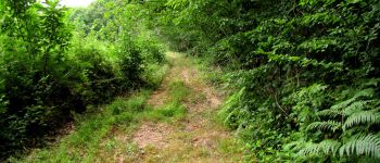
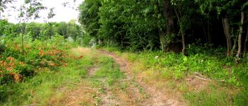
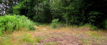
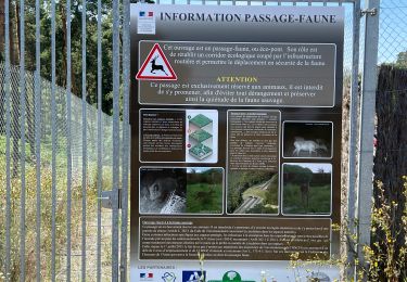
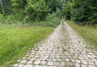
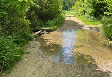
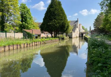
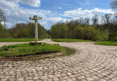
Trail Walking of 31 km to be discovered at Hauts-de-France, Oise, Ivors. This trail is proposed by en forêt de Retz.
voir aussi:
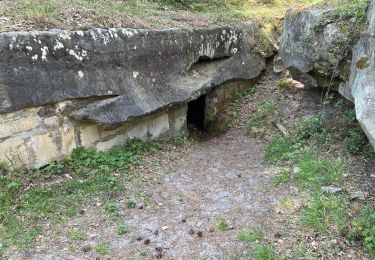
http://foret-de-retz.over-blog.com/
07/2015
Batterie de rechange pour iphone obligatoire.
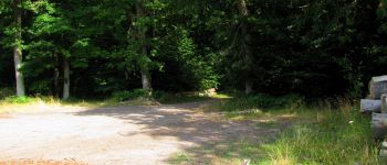
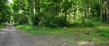
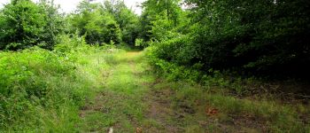
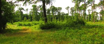
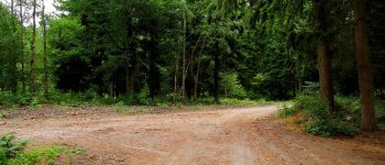
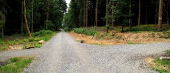
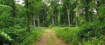
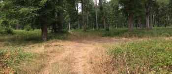
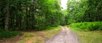
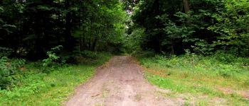
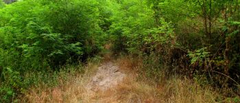
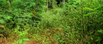
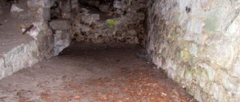
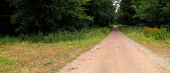
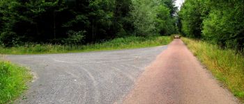
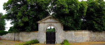
Au départ de l'église d'Ivors, suivre la D51 jusqu'à la route des quatorze frères. Continuer jusqu'au carrefour du Cheval Noir. Prendre à droite la laie tournante du Rond Capitaine jusqu'au carrefour de la Braze. Prendre à gauche la route des quatorze frères jusqu'au carrefour du Cheval Noir. Prendre à droite la laie tournante du Rond Capitaine jusqu'au carrefour de Cuvergnon. Prendre la laie de Cuvergnon jusqu'au carrefour Rond du Capitaine. Prendre la route d'Ormoy jusqu'au carrefour de la Pie. Suivre la laie du Chêne l'Officier jusqu'au carrefour du Chêne l'Officier. Prendre la laie de Cuvergnon jusqu'au carrefour de Cuvergnon. A gauche, suivre la laie tournante du Rond du Capitaine juqu'au carrefour de la Braze. Prendre la route des quatorze frères jusqu'à la maison forestière des quatorze frères. Traverser la N2, suivre le chemin tout droit et à la première intersection, prendre à gauche la laie St Lazare. Continuer jusqu'au carrefour La Folie. Prendre la laie des Grès jusqu'au carrefour de Crépy. Prendre la laie de Russy et à gauche la prochaine intersection en direction du chêne du Roi de Rome (coordonnées GPS nécessaires). Rejoindre la carrefour de Montigny à gauche et suivre la laie de Russy jusqu'au carrefour des Sables. Prendre à droite la laie de Gondreville jusqu'au carrefour des Bruyères. Suivre à gauche la laie de Crépy jusqu'au chemin de Gondreville à Vaumoise. Le suivre jusqu'au carrefour Dumont. Prendre à droite et traverser la N2 pour rejoindre la Cave du Diable puis le carrefour de la Cave du Diable. Allez au carrefour de la Tour du Grain, suivre la Route de la Tour du Grain jusqu'à l'intersection avec la Route Droite. La suivre jusqu'au carrefour de la Cave du Diable. Prendre à droite et continuer jusqu'au carrefour d'Orléans. Suivre la Route Droite jusqu'à l'intersection avec la parcelle 1366.Continuer tout droit puis prendre à droite la laie de Vez pour rejoindre la route du Plessy-Le-Bois vers Ivors. Continuer pour arriver à l'église d'Ivors.


245 photos in total. Please click on a photo to see them all in the gallery.
Walking
Walking
Mountain bike
Walking
Walking
Walking
Walking
Walking
Walking