


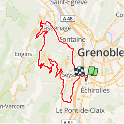


9.1 km | 13.8 km-effort


User


FREE GPS app for hiking
 SityTrail
IGN / Geographical institutes
SityTrail World
The world is yours!
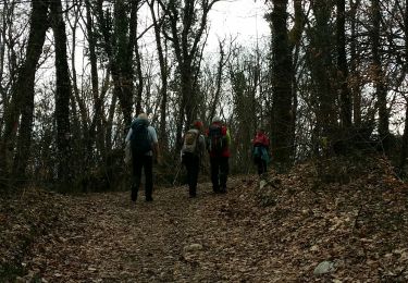
Trail Mountain bike of 42 km to be discovered at Auvergne-Rhône-Alpes, Isère, Échirolles. This trail is proposed by clubrando.
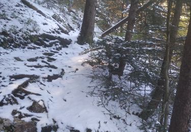
Descente par Ferme Durand et Pont Charvet. 1 passage technique court (dalle) avant le pont.
Nordic walking
Walking
Mountain bike
Walking

Running

Mountain bike

Nordic walking
Walking
Walking