


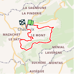


17.7 km | 24 km-effort

User


FREE GPS app for hiking
 SityTrail
IGN / Geographical institutes
SityTrail World
The world is yours!
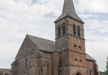
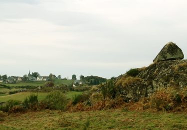
Trail Walking of 13.8 km to be discovered at Auvergne-Rhône-Alpes, Puy-de-Dôme, Chastreix. This trail is proposed by olivier78000.


Walking

On foot
On foot
On foot
On foot

On foot
Walking
Walking
Walking
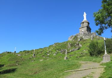
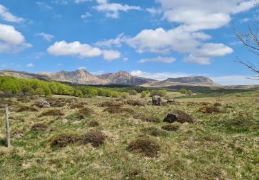
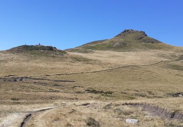
Randonnée longue mais assez facile. Magnifiques paysages qui changent d'un sentier à l'autre. Superbe point de vue sur le Sancy. Vers la fin le parcours est un peu particulier, on traverse un champ. Il faut serrer à droite pour retrouver le chemin.