


craponne brindas francheville

maclobar
User
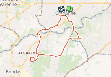

Length
8.1 km

Max alt
287 m

Uphill gradient
128 m
Km-Effort
9.8 km

Min alt
234 m

Downhill gradient
130 m
Boucle
Yes
Creation date :
2025-06-11 12:21:19.361
Updated on :
2025-06-11 14:16:30.189
1h54
Difficulty : Medium

FREE GPS app for hiking
 SityTrail
IGN / Geographical institutes
SityTrail Plus
The world is yours!
About
Trail Walking of 8.1 km to be discovered at Auvergne-Rhône-Alpes, Métropole de Lyon, Craponne. This trail is proposed by maclobar.
Description
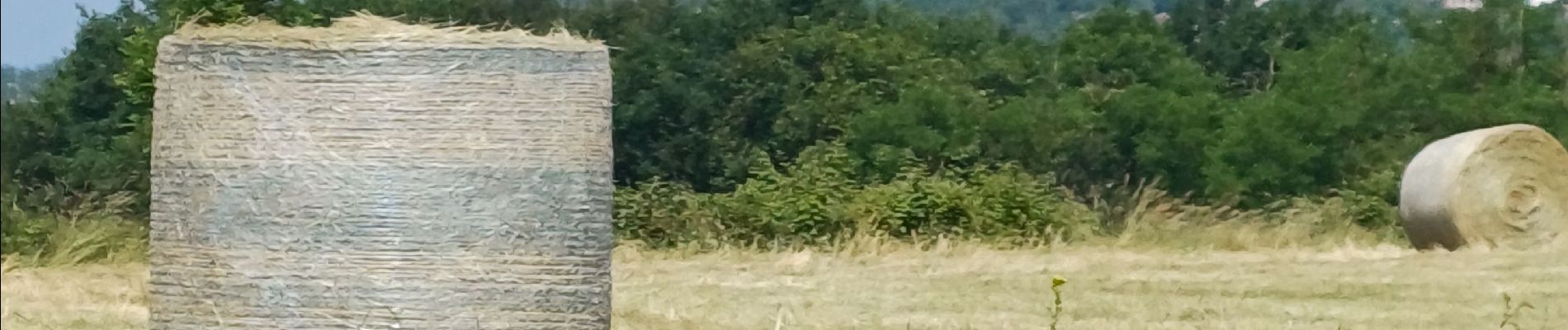
parcours facile
Photos


Positioning
Country:
France
Region :
Auvergne-Rhône-Alpes
Department/Province :
Métropole de Lyon
Municipality :
Craponne
Location:
Unknown
Start:(Dec)
Start:(UTM)
634043 ; 5066877 (31T) N.
Comments