


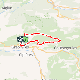

21 km | 41 km-effort

User


FREE GPS app for hiking
 SityTrail
IGN / Geographical institutes
SityTrail World
The world is yours!
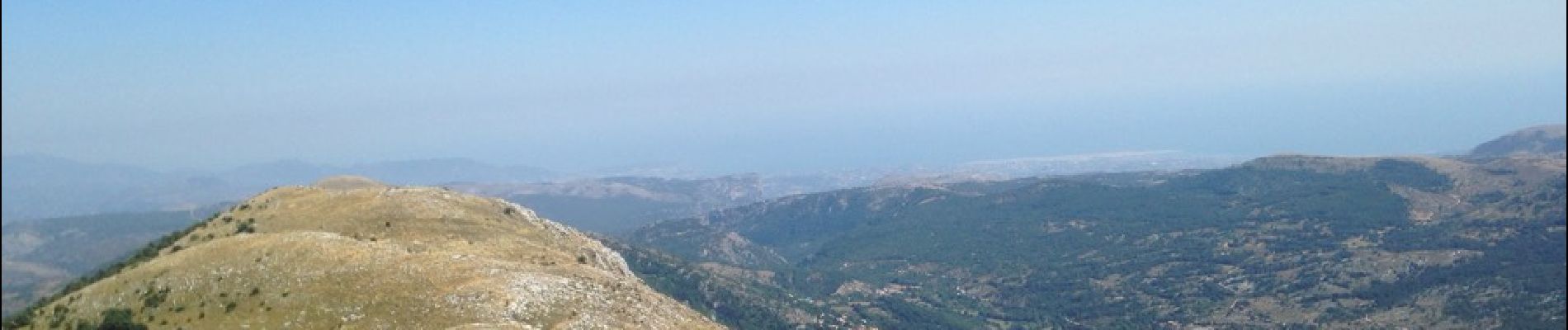
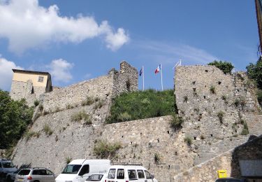
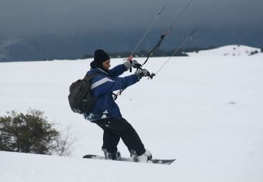
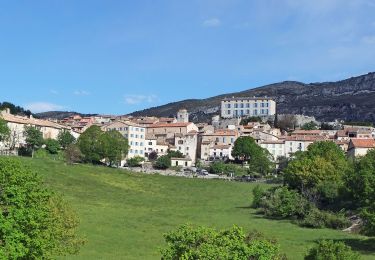
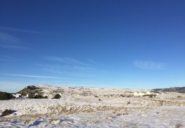
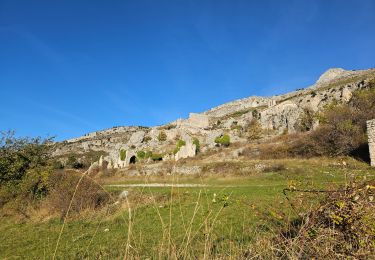
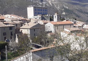
Trail Running of 27 km to be discovered at Provence-Alpes-Côte d'Azur, Maritime Alps, Gréolières. This trail is proposed by kenhava.
Très beau parcours sous 30°.Des paysages sublimes à perte de vue. En manque d'eau la fin fut très difficile, marche oblige. A refaire mais plutôt en Septembre-Octobre


On foot
On foot
On foot
On foot
On foot
On foot
Walking
Walking
Walking