Trail Walking Ivors - en forêt de Retz_38_Ivors_le buisson de Walligny_AR - Photo

en forêt de Retz_38_Ivors_le buisson de Walligny_AR

forêts de France

© OpenStreetMap contributors
Length
Length
16.2 km
Max alt
Max alt
153 m
Uphill gradient
Uphill gradient
211 m
Km-Effort
Km-Effort  
19 km
Min alt
Min alt
98 m
Downhill gradient
Downhill gradient
211 m
Boucle
Boucle
Yes
Creation date :
2018-12-11 06:37:30.442
Updated on :
2020-11-08 11:15:48.199

(0 Reviews)

Walking
Walking
4h52
Difficulty : Very difficult

Scan this QR Code to open this trail in the SityTrail application

FREE GPS app for hiking

Logo SityTrail SityTrail

IGN / Geographical institutes

Download SityTrail from the App Store Download SityTrail from Google Play

Logo SityTrail SityTrail World

The world is yours!

Download SityTrail from the App Store Download SityTrail from Google Play Download SityTrail on Huawei AppGallery

About

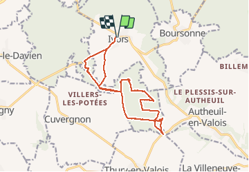
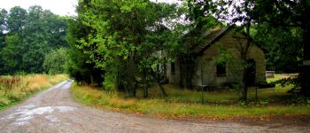
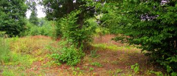
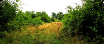
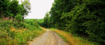
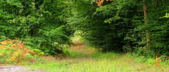
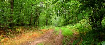
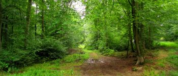
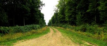
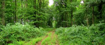
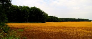
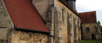
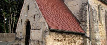
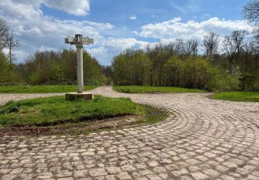
Trail Walking of 16.2 km to be discovered at Hauts-de-France, Oise, Ivors. This trail is proposed by en forêt de Retz.

Description

voir aussi:
http://foret-de-retz.over-blog.com/

08/2015

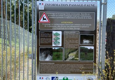
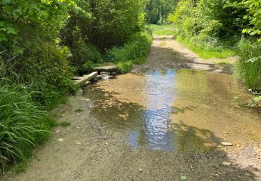
fortement déconseillé par forêt trempée.

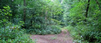
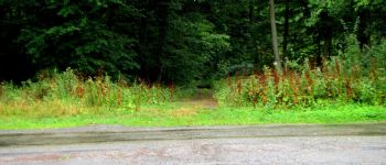
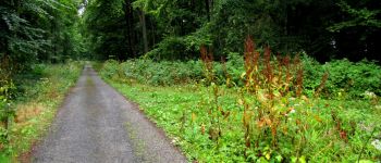
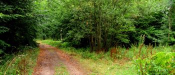
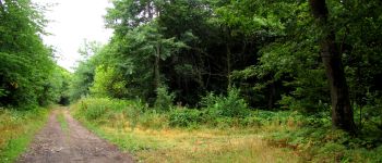
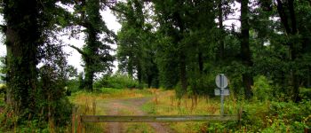
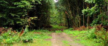
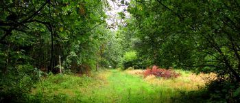
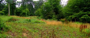
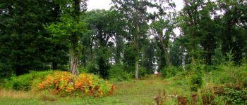
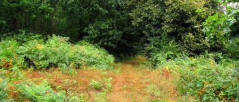
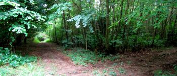
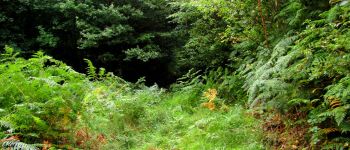
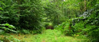
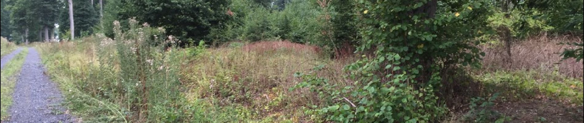
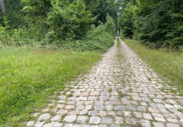
En partant d'Ivors, suivre la D51 et prendre à gauche en longeant un champ en bordure de forêt. Retrouver la route des Quatorze Frères, continuer sur la route de Walligny jusqu'au carrefour de Walligny. Prendre à droite le chemin qui longe le champ de la ferme La Tournelle puis récupérer à gauche la laie de l'Hermitage. La suivre jusqu'au carrefour de l'Ermite. Prendre à droite jusqu'à la D18 puis revenir en "suivant" la laie de la Queue Madame (très difficile car pas visible et facile de se perdre). Environ 500 mètres plus loin prendre à gauche pour revenir au carrefour de l'Ermite. Puis prendre à droite un chemin environ 400 mètres et tourner à gauche pour suivre la laie de Saint André jusqu'au carrefour qui croise avec la laie de Saint Valdaine. La suivre jusqu'au carrefour de La Montagne. Prendre à droite la route de La Tournelle, passer le carrefour du Fournet (difficile car pas visible) puis prendre à gauche au carrefour suivant. Trouver et suivre la laie de la Genévrière jusqu'au carrefour qui croise avec la laie de Walligny. Prendre à droite et suivre la route de Thury jusqu'au carrefour de la Genevroye. Prendre à gauche la laie de la Genevroye jusqu'au carrefour des Ornières (très difficile même par temps sec). Prendre à gauche le chemin qui mène au carrefour de Walligny puis la route de Walligny. Prendre à droite le chemin goudronné qui va de Villers-Les-Potées à Ivors.

Elevation profile

Photos

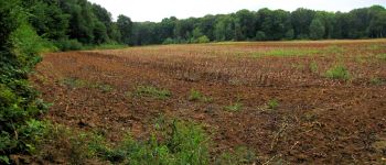
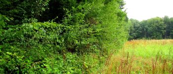
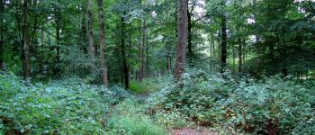
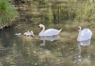
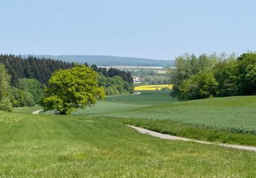
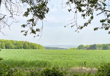
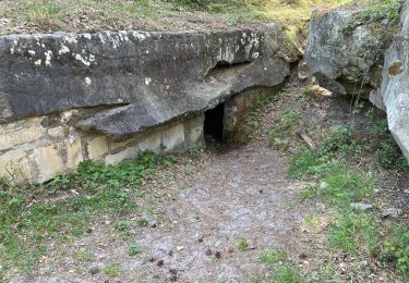
71 photos in total. Please click on a photo to see them all in the gallery.

Points of interest

Point of interest Coyolles - Point 2 - Photo
JeanLucA4
COYOLLES 
Point of interest Coyolles - Point 3 - Photo
JeanLucA4
COYOLLES 
Point of interest Coyolles - Point 4 - Photo
JeanLucA4
COYOLLES 
Point of interest Coyolles - Point 5 - Photo
JeanLucA4
COYOLLES 
Point of interest Ivors - Point 6 - Photo
JeanLucA4
IVORS 
Point of interest Coyolles - Point 7 - Photo
JeanLucA4
COYOLLES 
Point of interest Coyolles - Point 8 - Photo
JeanLucA4
COYOLLES 
Point of interest Coyolles - Point 9 - Photo
JeanLucA4
COYOLLES 
Point of interest Coyolles - Point 10 - Photo
JeanLucA4
COYOLLES 
Point of interest Coyolles - Point 11 - Photo
JeanLucA4
COYOLLES 
Point of interest Coyolles - Point 12 - Photo
JeanLucA4
COYOLLES 
Point of interest Coyolles - Point 13 - Photo
JeanLucA4
COYOLLES 
Point of interest Coyolles - Point 14 - Photo
JeanLucA4
COYOLLES 
Point of interest Coyolles - Point 15 - Photo
JeanLucA4
COYOLLES 
Point of interest Coyolles - Unnamed POI - Photo
JeanLucA4
COYOLLES 
Point of interest Coyolles - Unnamed POI - Photo
JeanLucA4
COYOLLES 
Point of interest Coyolles - Point 18 - Photo
JeanLucA4
COYOLLES 
Point of interest Coyolles - Point 21 - Photo
JeanLucA4
COYOLLES 
Point of interest Coyolles - Point 22 - Photo
JeanLucA4
COYOLLES 
Point of interest Coyolles - Point 23 - Photo
JeanLucA4
COYOLLES 
Point of interest Coyolles - Point 24 - Photo
JeanLucA4
COYOLLES 
Point of interest Coyolles - Unnamed POI - Photo
JeanLucA4
COYOLLES 
Point of interest Coyolles - Point 26 - Photo
JeanLucA4
COYOLLES 
Point of interest Coyolles - Point 27 - Photo
JeanLucA4
COYOLLES 
Point of interest Coyolles - Point 28 - Photo
JeanLucA4
COYOLLES 
Point of interest Coyolles - Point 29 - Photo
JeanLucA4
COYOLLES 
Point of interest Coyolles - Point 30 - Photo
JeanLucA4
COYOLLES 
Point of interest Coyolles - Point 31 - Photo
JeanLucA4
COYOLLES 
Point of interest Ivors - Point 32 - Photo
JeanLucA4
IVORS 
Point of interest Ivors - Point 1 - Photo
JeanLucA4
IVORS 
Point of interest Ivors - Point 33 - Photo
JeanLucA4
IVORS 

Positioning

Country:
France
Region :
Hauts-de-France
Department/Province :
Oise
Municipality :
Ivors
Location:
Unknown
Start:(UTM)
501096 ; 5449793 (31U) N.

Trails nearby

Trail Walking Ormoy-le-Davien - 140722 - Ormoy le Davien - Etan de Wallu - Photo
Walking
Vadim

Walking

Medium
Ormoy-le-Davien, Hauts-de-France, Oise, France
24 km | 29 km-effort
5h 2min
Yes
Trail Walking Ormoy-le-Davien - 060722 - Petite rando 10 km - Photo
Walking
Vadim

Walking

Ormoy-le-Davien, Hauts-de-France, Oise, France
10.2 km | 12.1 km-effort
1h 53min
Yes
Trail Mountain bike Ormoy-le-Davien - 130522 - Boucle VTT - Ormoy le davien en passant par le canal de l'Ourc - Photo
Mountain bike
Vadim

Mountain bike

Easy
Ormoy-le-Davien, Hauts-de-France, Oise, France
35 km | 40 km-effort
2h 41min
Yes
Trail Walking Ormoy-le-Davien - 060522 - Ormoy le Davien - La Ferté Milon - Photo
Walking
Vadim

Walking

Difficult
Ormoy-le-Davien, Hauts-de-France, Oise, France
32 km | 38 km-effort
6h 42min
Yes
Trail Walking Ormoy-le-Davien - 040522 - Boucle Ormoy le Davien - Moulin de Wallu... - Photo
Walking
Vadim

Walking

Difficult
(1)
Ormoy-le-Davien, Hauts-de-France, Oise, France
25 km | 30 km-effort
4h 51min
Yes
Trail Walking Ormoy-le-Davien - 030422 - Direction Vaucienne puis Vaumoise et Cave du diable - Photo
Walking
Vadim

Walking

Medium
Ormoy-le-Davien, Hauts-de-France, Oise, France
17 km | 21 km-effort
3h 30min
Yes
Trail Walking Ormoy-le-Davien - 290422 - Boucle Ormoy le Davien - au dessus de Chavre - Photo
Walking
Vadim

Walking

Easy
Ormoy-le-Davien, Hauts-de-France, Oise, France
12.9 km | 15.3 km-effort
2h 25min
Yes
Trail Walking Ormoy-le-Davien - Ormoy - Cave du diable  - Photo
Walking
Vadim

Walking

Easy
Ormoy-le-Davien, Hauts-de-France, Oise, France
13.6 km | 16 km-effort
2h 29min
Yes
Trail Walking Ormoy-le-Davien - Boucle départ Ormoy le Davien 60620 - Foret de Retz - Photo
Walking
Vadim

Walking

Very easy
Ormoy-le-Davien, Hauts-de-France, Oise, France
10.4 km | 12.3 km-effort
2h 6min
Yes


Close
My subscriptions