


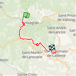

22 km | 31 km-effort


User


FREE GPS app for hiking
 SityTrail
IGN / Geographical institutes
SityTrail World
The world is yours!
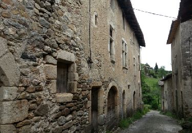
Trail Walking of 18.2 km to be discovered at Occitania, Lozère, Cassagnas. This trail is proposed by motardes04.
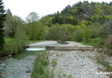
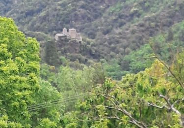
Etape touristique et test du GPS ! La Villa Gallo Romaine de St Clément gagnerait à être visitée si au moins le site était valorisé avec quelques panneaux explicatifs. Rien de tout cela. Quant à la carte, elle est fausse ! la piste qui remonte vers le GR n'existe plus ... nous avons donc coupé par la for?t, les fourrés, sous les barbelés, dans les bogues de châtaignes (ouille) et les ronces (reouille) et nous en sommes sorties uniquement grâce au GPS car le relief en plus est complexe ...
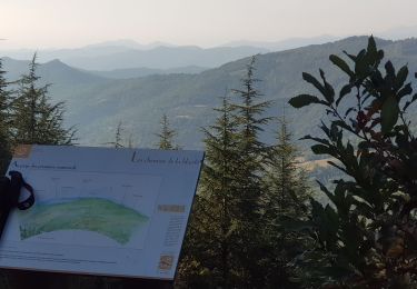
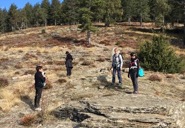
Au contraire, la variante non indiquée dans le topo par le PR jaune (Galta) en crête à partir du Col de la Pierre Plantée valait vraiment le coup,avec un très beau panorama. D'après des locales rencontrées sous le sommet, il n'y a jamais eu de dolmen contrairement à ce que dit la carte ...
Temps Cécile et Béa : 17,3 km et 5h32 du fait de notre errance pour retrouver cette p...n de sente
Temps SityTrail : 5h13
Topo : 14,5 km et 4h
Walking
Walking

On foot
Walking
Walking
Walking
Walking
Walking