


5.6 km | 8.8 km-effort


User


FREE GPS app for hiking
 SityTrail
IGN / Geographical institutes
SityTrail World
The world is yours!
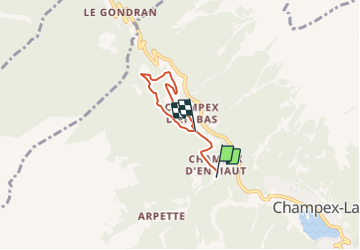
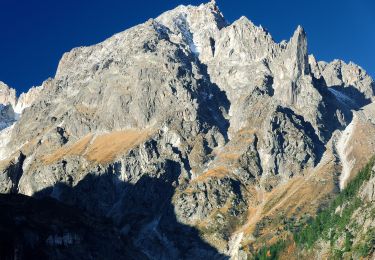
Trail Winter sports of 3.9 km to be discovered at Valais/Wallis, Entremont, Orsières. This trail is proposed by verbier.
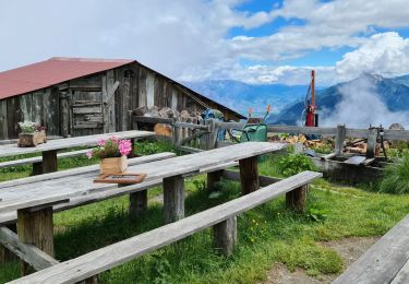
Boucle de 4 km sur Champex d''en bas se chevauchant avec l''autre parcours.
On foot
On foot

On foot
On foot
On foot
Walking
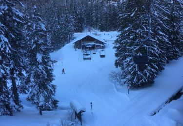
Snowshoes

Walking

Walking