


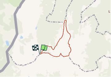

5.7 km | 10.6 km-effort


User


FREE GPS app for hiking
 SityTrail
IGN / Geographical institutes
SityTrail World
The world is yours!
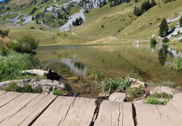
Trail Walking of 5.6 km to be discovered at Valais/Wallis, Monthey, Troistorrents. This trail is proposed by rpf.
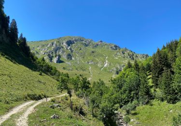
Depuis les Portes de Culet au-dessus de Morgins, dans les pierriers de l''arête de Pré-Fleuri, qu''il faut contourner pour entrer dans la Combe de Dreveneuse et revenir sur la Pointe Bellevue au fond de la Combe... Super !
Une balade de " www.toprando.ch "

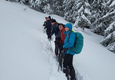
Snowshoes

Snowshoes
Walking

Snowshoes

Walking
Snowshoes
Snowshoes
Mountain bike
Snowshoes
Balade exceptionnelle mais pas si facile ! Sentier difficiles et parfois mal entretenus . A faire en sens inverse . Par contre paysages exceptionnels et variés !