


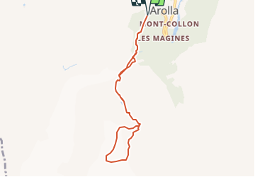

11.8 km | 22 km-effort


User


FREE GPS app for hiking
 SityTrail
IGN / Geographical institutes
SityTrail World
The world is yours!
Trail Walking of 7.5 km to be discovered at Valais/Wallis, Hérens, Evolène. This trail is proposed by rpf.
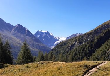
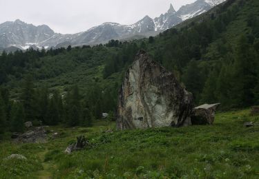
Au pied du Pigne d''Arolla, sur le chemin de la Cabane des Vignettes, une très belle balade dans un monde de glace. Un balcon sur la vallée d''Arolla, avec une vue qui s''étend du Pas de Chèvres au Haut-Glacier d''Arolla.
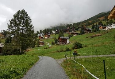
Départ au sommet du village d''Arolla.
Il faut d''abord traverser l''alpage de Tsijiore Nouve par un sentier presque plat pour rejoindre un petit pont sur la prise d''eau et commencer la longue montée sur la moraine.
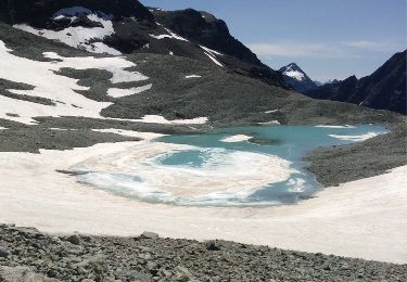
Attention !... la balade sur le replat du glacier nécessite des conditions favorables de fin d''été, un équipement adéquat et la prudence voulue.
Au sommet du glacier, la Cabane des Vignettes. Accès réservé aux gens d''expérience, car beaucoup de crevasses ouvertes dans la zone intermédiaire du glacier et d''autres recouvertes de neige sur la partie supérieure.
Retour par le même chemin.
Une balade de " www.toprando.ch "

Walking
Walking
Walking

Winter sports
Winter sports
Other activity
Walking
Walking
Nordic walking