


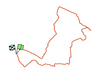

6.7 km | 7.5 km-effort


User


FREE GPS app for hiking
 SityTrail
IGN / Geographical institutes
SityTrail World
The world is yours!
Trail Walking of 6.4 km to be discovered at Occitania, Pyrénées-Orientales, Perpignan. This trail is proposed by jeff66.
66 PERPIGNAN - tour du Serrat s'en Vaquer, mas Guiter, domaine Sarda-mallet. Mas Roig, carré royal immobilier,
Carrer Frédéric Pau Thiers, mas Sant Salvador, carrer Lluis de Bonnefoy, avenue Charles Deperet, tour des réservoirs, panorama sur Perpignan, la côte, les Albères, suivre panneaux las Canals, traverser le parking des centres commerciaux entre Auchan et boulanger, contourner le bat. Boulanger et rejoindre le canal de Perpignan, la Calmade, catalinya, vue sur les Albères, le Canigou, contourner le cimetière du Sud, mas Elaury et Juanole, chemin de sainte Barbe CR29


Walking

Walking
Walking

Mountain bike

Walking

Walking

Walking

Walking

Walking