


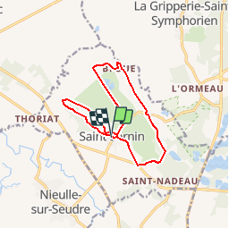


9.6 km | 10.1 km-effort

Randonnées de l'Office du Tourisme de l'Île d'Oléron etdu bassin de Marennes


FREE GPS app for hiking
 SityTrail
IGN / Geographical institutes
SityTrail World
The world is yours!
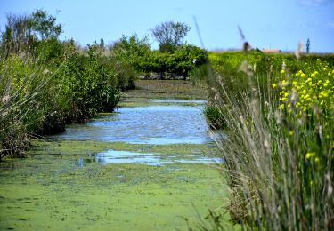
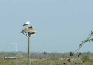
Trail Walking of 12.9 km to be discovered at New Aquitaine, Charente-Maritime, Saint-Sornin. This trail is proposed by Office du Tourisme de l'île d'Oléron et du bassin de Marennes.


Walking
On foot
Walking
Walking

Walking

On foot
Walking

Walking

Hybrid bike