


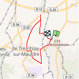


8.5 km | 10.5 km-effort

User


FREE GPS app for hiking
 SityTrail
IGN / Geographical institutes
SityTrail World
The world is yours!
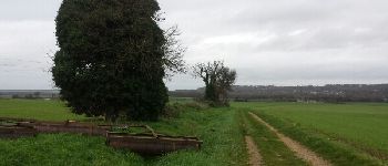
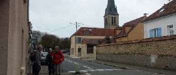
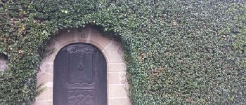
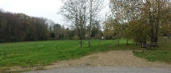
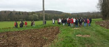
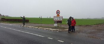
Trail Walking of 5.4 km to be discovered at Ile-de-France, Yvelines, Jouars-Pontchartrain. This trail is proposed by microb.
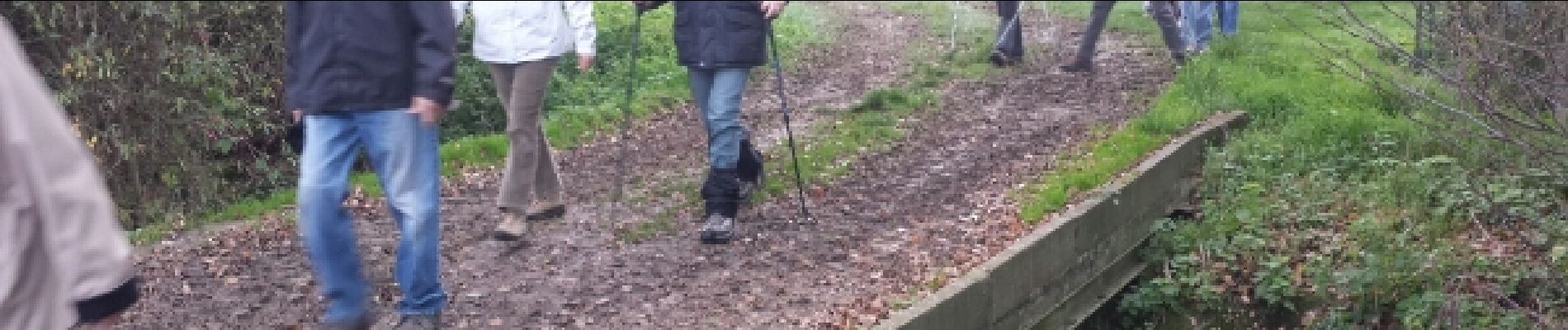
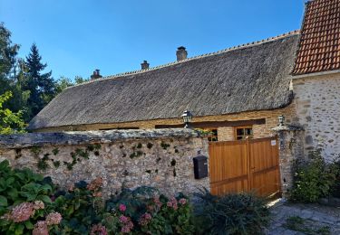
En suivant la Mauldre jusqu'à la ferme d'Ithe


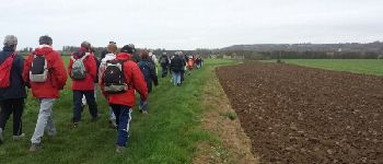
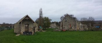
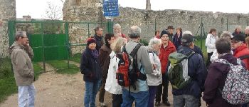
Walking

Walking

Walking
Walking
Plane

Walking
Walking
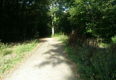
Walking

Walking