


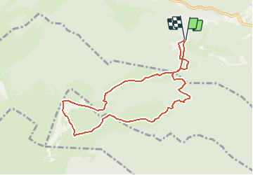

15.1 km | 23 km-effort


User


FREE GPS app for hiking
 SityTrail
IGN / Geographical institutes
SityTrail World
The world is yours!
Trail Walking of 8.6 km to be discovered at Vaud, District de Nyon, Saint-Cergue. This trail is proposed by cgreutert.
Jolie balade qui part de la St-Cergue (hauts des Cheseaux) pour passer devant le chalet des apprentis, puis rejoindre le Col de Porte et ensuite redescendre vers le chalet de la Dôle et remonter en direction de la Barillette puis rejoindre le point de départ. Beaucoup de chances de voir de nombreux chamois.

Walking

Walking

On foot
On foot

Walking
Walking
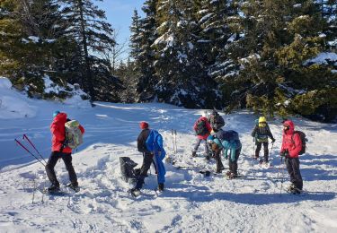
Snowshoes
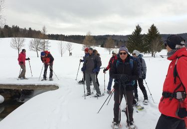
Snowshoes
Walking