


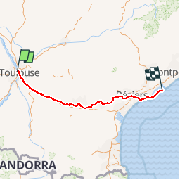


66 km | 72 km-effort


User


FREE GPS app for hiking
 SityTrail
IGN / Geographical institutes
SityTrail World
The world is yours!
Trail Cycle of 259 km to be discovered at Occitania, Haute-Garonne, Toulouse. This trail is proposed by frizou83.
Toulouse
Sète

Mountain bike
Walking
Walking

Walking
Walking

Walking

Walking

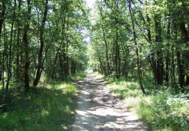
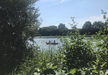
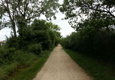
Cycle
Walking
une de mes meilleurs rando vélo