

F.LandreciesMontdidier37C119.517VTT0

francois58
User

Length
119 km

Max alt
156 m

Uphill gradient
848 m

Km-Effort
131 km

Min alt
51 m

Downhill gradient
938 m
Boucle
No
Creation date :
2016-08-08 00:00:00.0
Updated on :
2016-08-08 00:00:00.0
8h36
Difficulty : Easy

FREE GPS app for hiking
About
Trail Mountain bike of 119 km to be discovered at Hauts-de-France, Nord, Landrecies. This trail is proposed by francois58.
Description
Jour 3/9 d'une randonnée Verviers - Bretagne. Aussi souvent que possible sur petites routes et chemins. Certains passages seront plus confortables en VTT.
Pneus lisses possibles si le temps est sec.
Points of interest
Positioning
Country:
France
Region :
Hauts-de-France
Department/Province :
Nord
Municipality :
Landrecies
Location:
Unknown
Start:(Dec)
Start:(UTM)
549689 ; 5553794 (31U) N.
Comments
Trails nearby
Landrecies 18 km


Walking
Easy
Landrecies,
Hauts-de-France,
Nord,
France

18 km | 20 km-effort
5h 32min
Yes

Circuit Maroilles-Valjoly


Mountain bike
Difficult
(1)
Maroilles,
Hauts-de-France,
Nord,
France

60 km | 68 km-effort
3h 13min
No
Hachette. Berges de Sambre et forêt


Walking
Medium
Locquignol,
Hauts-de-France,
Nord,
France

9.7 km | 10.9 km-effort
1h 42min
Yes
Maroilles 14 km


Walking
Easy
Maroilles,
Hauts-de-France,
Nord,
France

13.8 km | 15.1 km-effort
3h 47min
Yes
Circuit de Preux au Bois


Walking
Easy
(1)
Preux-au-Bois,
Hauts-de-France,
Nord,
France

11.3 km | 12.8 km-effort
2h 49min
Yes
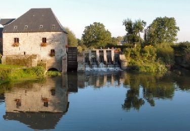
Moulins et kiosques en Thierache - Maroilles


Cycle
Medium
Maroilles,
Hauts-de-France,
Nord,
France

42 km | 46 km-effort
3h 0min
Yes
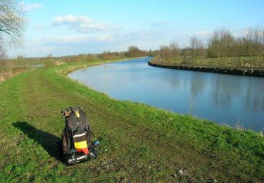
Sentier des Etoquies - Landrecies


Walking
Medium
(1)
Landrecies,
Hauts-de-France,
Nord,
France

9.6 km | 10.6 km-effort
2h 25min
Yes
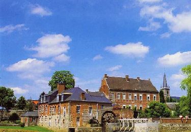
Circuit des Renoncules - Maroilles


Walking
Medium
(1)
Maroilles,
Hauts-de-France,
Nord,
France

8.6 km | 9.4 km-effort
2h 10min
Yes
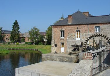
Circuit de dame Marguerite - Maroilles


Walking
Medium
Maroilles,
Hauts-de-France,
Nord,
France

11.9 km | 13.1 km-effort
3h 0min
Yes


 SityTrail


