


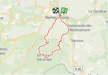

15.8 km | 25 km-effort


User


FREE GPS app for hiking
 SityTrail
IGN / Geographical institutes
SityTrail World
The world is yours!
Trail Walking of 23 km to be discovered at Grand Est, Vosges, Remiremont. This trail is proposed by DanielROLLET.
Départ et retour gare de Remiremont.
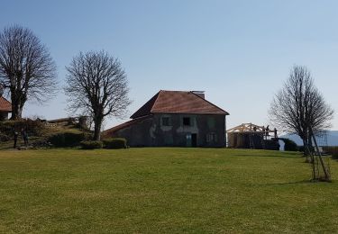
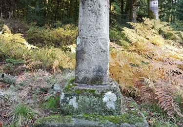
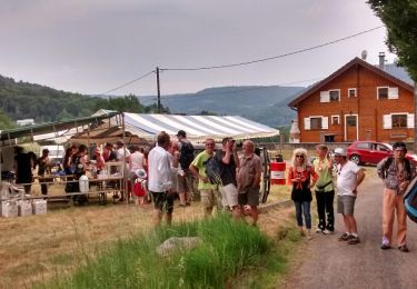
Montée au Girmont-Val-d'Ajol, déjeuner grenouilles à la Vigotte, jonquilles et retour à Remiremont
Walking
On foot
On foot
Walking
Walking

Walking

Walking

Walking
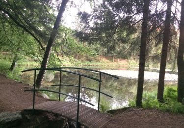
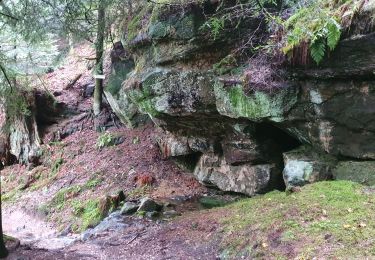
balade trés agréable avec vue sur la Moselle.