


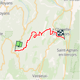


9.2 km | 14.2 km-effort


User


FREE GPS app for hiking
 SityTrail
IGN / Geographical institutes
SityTrail World
The world is yours!
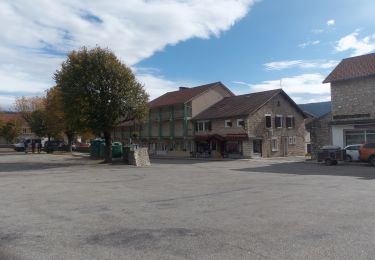
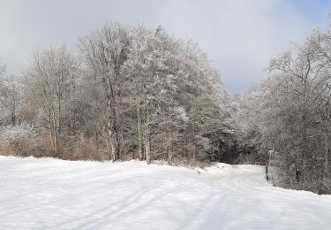
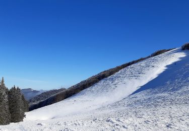
Trail Winter sports of 19 km to be discovered at Auvergne-Rhône-Alpes, Drôme, Bouvante. This trail is proposed by ManteR07.
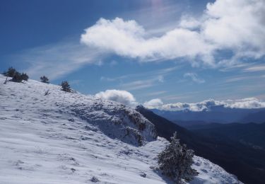
Snowshoes
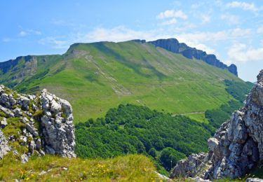
Walking

Walking
Walking
Walking
Walking
Walking
Walking
Walking