


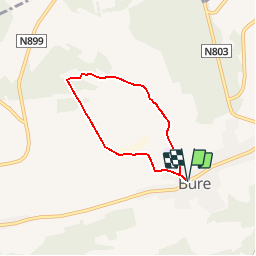


9.6 km | 11.9 km-effort
Randonnées de la Grande Forêt de Saint-Hubert GUIDE+


FREE GPS app for hiking
 SityTrail
IGN / Geographical institutes
SityTrail World
The world is yours!
Trail Walking of 4.5 km to be discovered at Wallonia, Luxembourg, Tellin. This trail is proposed by La Grande Forêt de Saint-Hubert.
Before reaching the Chapel of Our Lady of Haurt, you will have traveled through the surrounding countryside, passing in particular by the Champ des Bœufs, which contains remarkable species such as small rhinanth or the centaury. This crossing will take you to the Calvary at Croix Gloriette.
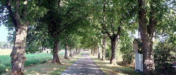
In the surroundings of the Haurt Bricks, the woods and paths are dotted with rare and protected plants: orchids, gentian, but also nice wood, earwaxed, oregano and wild thyme. This flora is home to deer, foxes and even hermines.
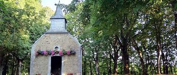
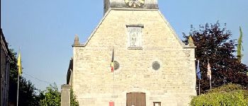
Many nesting birds, passerines and butterflies will accompany you to the chapel of Our Lady of Haurt. Built in the eighteenth century in rubble stone and sandstone, it consists of a nave with two spans, illuminated by windows with lintel lowered with key. During your visit, admire in passing the axial pore, surmounted by an oval oval, also called oeif-de-bœuf. The slate roof of the chapel bears a charming bell-tower on the front.
At the Bottle, discover the vast panorama on the Ardennes promontory south-southwest and closer, on the limestone plain covered with cereal crops.
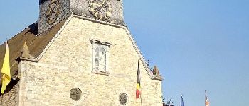
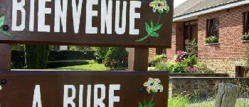
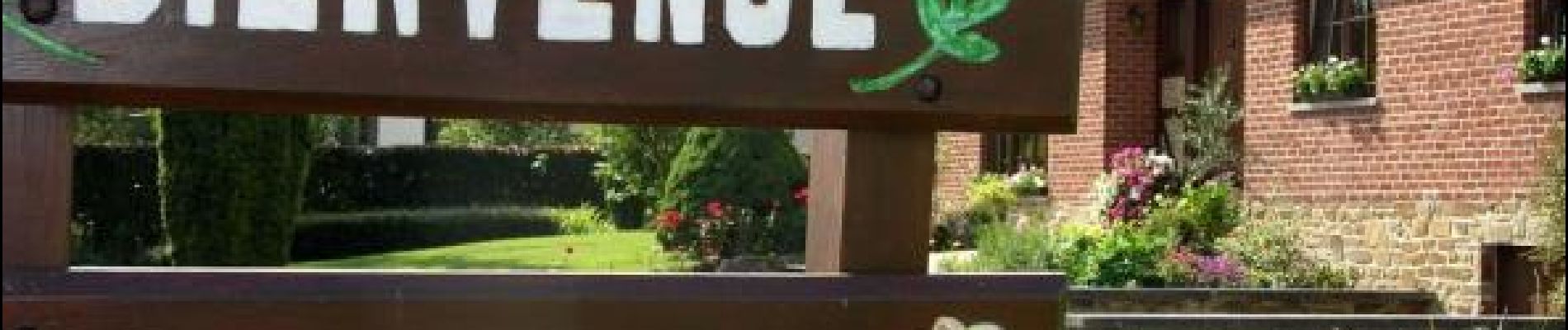
The former castle of Bure, the church of Saint-Lambert and the fountains of the village, described in the previous itinerary (Chemin de Bruyères), are also part of the remarkable heritage of the commune.


Walking

Walking

Walking

Walking

Walking

Walking
Walking

Walking

On foot
super promenade 👍