


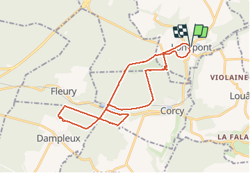


17.5 km | 21 km-effort

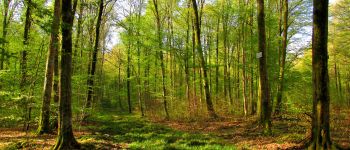
forêts de France


FREE GPS app for hiking
 SityTrail
IGN / Geographical institutes
SityTrail World
The world is yours!
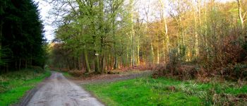
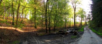
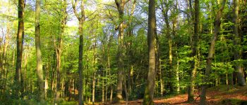
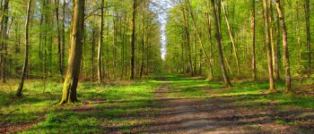
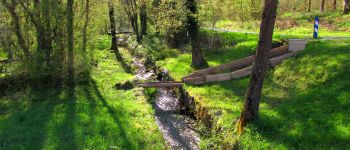
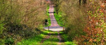
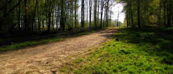
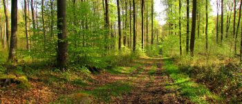
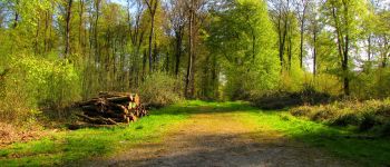
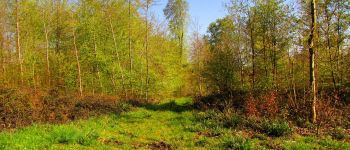
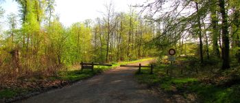
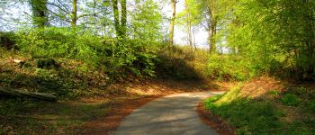
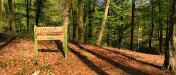
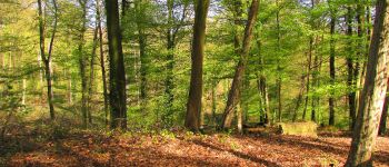
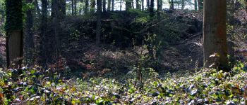
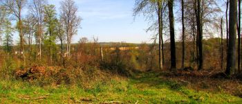
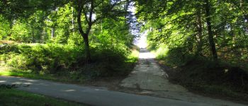
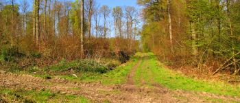
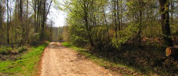
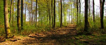
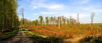
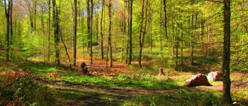
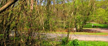
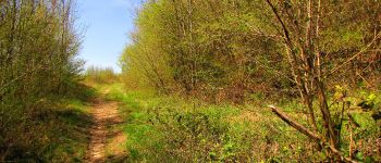
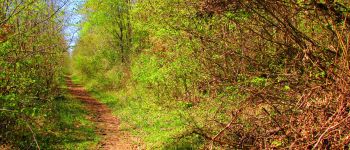
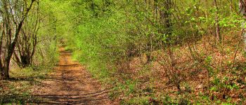
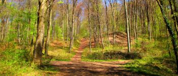
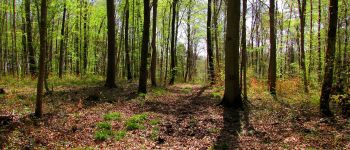
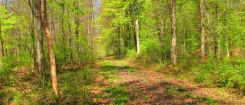
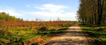
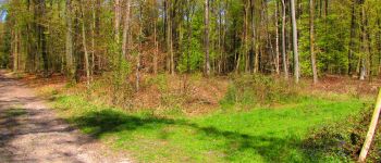
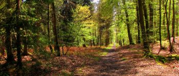
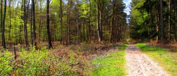
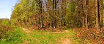
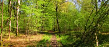
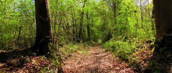
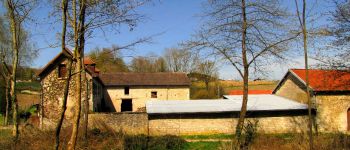
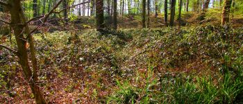
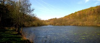
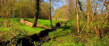
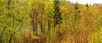
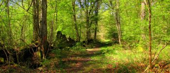
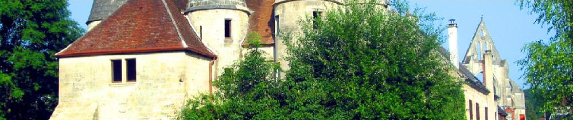
Trail Walking of 18.3 km to be discovered at Hauts-de-France, Aisne, Longpont. This trail is proposed by en forêt de Retz.
voir aussi:
http://foret-de-retz.over-blog.com/
04/2016
Batterie de rechange pour iphone indispensable.
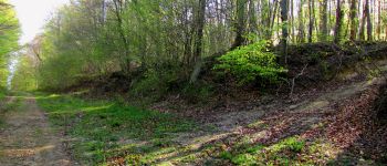
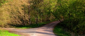
Au départ de l'Abbaye de Longpont, prendre le GR11A aux "trois maisons". Suivre jusqu'au vieux chemin de Longpont. Prendre à gauche le vieux chemin de Longpont jusqu'au carrefour de la Grosse Pierre. Prendre à gauche la laie de la Route Droite jusqu'au carrefour des Cornillards (passer le carrefour de Château-Fée, traverser la voie ferrée et la D80). Suivre à droite la Route des Briolles jusqu'à la Pierre Fortière. Rejoindre la laie des Prés de Fleury jusqu'au carrefour du Pré Marin à travers la forêt (très diffcile). Prendre à gauche la route de Hautwison jusqu'au carrefour_laie de Hautwison_laie de la Chaussée. Suivre à gauche la laie de la Chaussée jusqu'à l'étang de la Grande Ramée. Longer le ru jusqu'à l'étang de la Petite Ramée. Prendre à droite, traverser la voie ferrée et prendre à droite le chemin qui longe la voie ferrée et surplombe l'étang de la Grande Ramée. Continuer sur la laie du Mur du Parc jusqu'au carrefour de Bigoret. Prendre la laie des Grands Charmes jusqu'au carrefour de la Tartarine. Tourner à droite sur la route du Pendu et continuer jusqu'au carrefour du Pendu. Récupérer à gauche la laie du Vieux Mur et continuer jusqu'au vieux chemin de Longpont. Prendre à droite la D2 et revenir à Longpont.


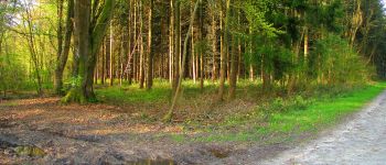
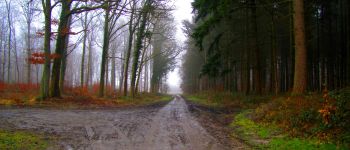
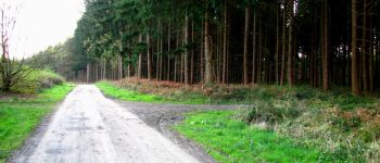
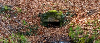
215 photos in total. Please click on a photo to see them all in the gallery.

Walking

Walking

Walking

On foot

On foot

Walking

Walking

Walking

Walking