Trail Cycle Saint-Julien-du-Gua - La grande boucle autour du Mas - Photo

La grande boucle autour du Mas

© OpenStreetMap contributors
Length
Length
61 km
Max alt
Max alt
1183 m
Uphill gradient
Uphill gradient
1305 m
Km-Effort
Km-Effort  
79 km
Min alt
Min alt
522 m
Downhill gradient
Downhill gradient
1311 m
Boucle
Boucle
Yes
Creation date :
2016-04-23 00:00:00.0
Updated on :
2016-04-23 00:00:00.0

(0 Reviews)

Cycle
Cycle
5h33
Difficulty : Medium

Scan this QR Code to open this trail in the SityTrail application

FREE GPS app for hiking

Logo SityTrail SityTrail

IGN / Geographical institutes

Download SityTrail from the App Store Download SityTrail from Google Play

Logo SityTrail SityTrail World

The world is yours!

Download SityTrail from the App Store Download SityTrail from Google Play Download SityTrail on Huawei AppGallery

About

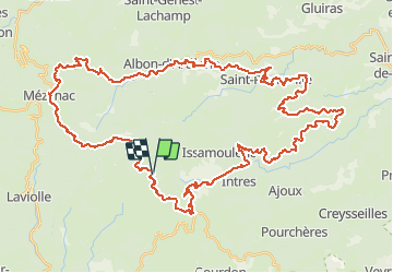
Trail Cycle of 61 km to be discovered at Auvergne-Rhône-Alpes, Ardèche, Saint-Julien-du-Gua. This trail is proposed by alaindurbecq.

Description

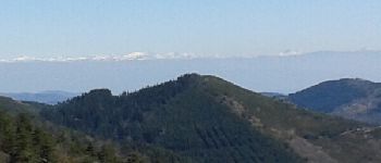
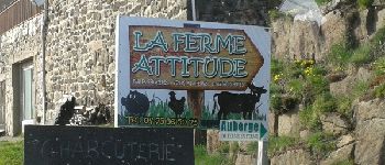
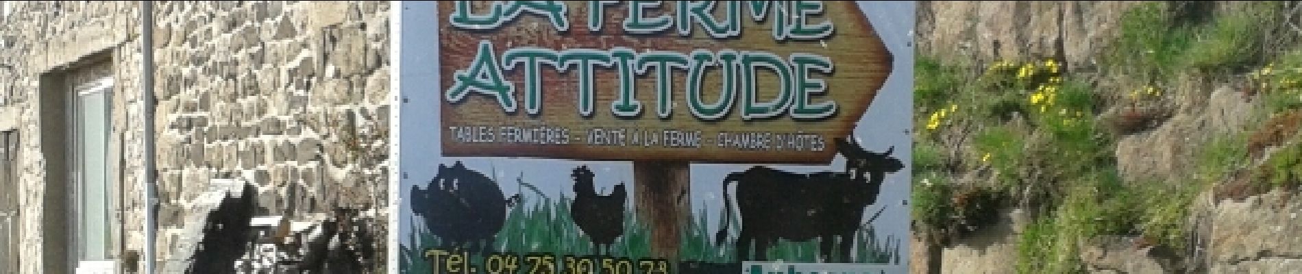
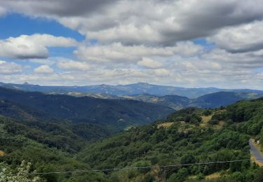
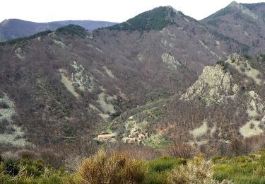
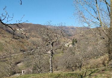
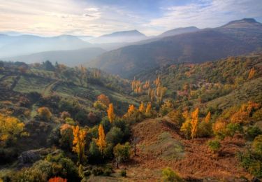
Très agréable rando offrant des panoramas impresionnants sur de nombreux tronçons. En particulier du col de la Fayolle à Mezilhac et d'Albon à St Pierreville.Un bon point de départ est le col de la Fayolle, ou, un peu plus loin, "la Ferme Attitude"
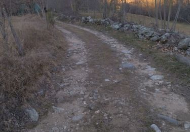
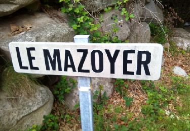
=>col de la Fayolle->col des 4 vios- Mezilhac-Albon en Ardèche->St Pierreville->St Étienne de Serre->St Jean de Gua  - Déclivité douce sauf 6 derniers km ascension col de la Fayolle

Elevation profile

Photos

Points of interest

Point of interest Mézilhac - vue sur Mont Blanc - Photo
alaindurbecq
Point of interest Saint-Pierreville - Tauzuc Point de vue - Photo
alaindurbecq
SAINT-PIERREVILLE 
Point of interest Saint-Joseph-des-Bancs - La ferme attitude  - Photo
alaindurbecq
SAINT-JOSEPH-DES-BANCS 
Point of interest Saint-Pierreville - Boulangerie - Photo
alaindurbecq
SAINT-PIERREVILLE 

Positioning

Country:
France
Region :
Auvergne-Rhône-Alpes
Department/Province :
Ardèche
Municipality :
Saint-Julien-du-Gua
Location:
Unknown
Start:(UTM)
612112 ; 4958631 (31T) N.

Trails nearby

Trail Walking Marcols-les-Eaux - Marcols les Eaux 18km - Photo
Walking
GUIDE
thonyc

Walking

Very difficult
Marcols-les-Eaux, Auvergne-Rhône-Alpes, Ardèche, France
18.2 km | 29 km-effort
6h 29min
Yes
Trail Walking Gourdon - Col de la Fayolle - Rocher de Gourdon  - Photo
Walking
coureursdecretes

Walking

Difficult
(1)
Gourdon, Auvergne-Rhône-Alpes, Ardèche, France
12.4 km | 17.1 km-effort
5h 10min
No
Trail Walking Ajoux - 07 sarrasset ajoux - Photo
Walking
himba26100

Walking

Medium
Ajoux, Auvergne-Rhône-Alpes, Ardèche, France
16.3 km | 25 km-effort
7h 3min
No
Trail Walking Vallées-d'Antraigues-Asperjoc - Le Mazoyer - Le rocher des aigles - Photo
Walking
coureursdecretes

Walking

Very difficult
Vallées-d'Antraigues-Asperjoc, Auvergne-Rhône-Alpes, Ardèche, France
12.8 km | 21 km-effort
5h 46min
Yes
Trail Walking Saint-Joseph-des-Bancs - 07 st joseph les bancs - Photo
Walking
himba26100

Walking

Easy
Saint-Joseph-des-Bancs, Auvergne-Rhône-Alpes, Ardèche, France
18.4 km | 29 km-effort
7h 47min
Yes
Trail Walking Saint-Joseph-des-Bancs - Tce St Joseph 20-02-17 - Photo
Walking
coureursdecretes

Walking

Very easy
Saint-Joseph-des-Bancs, Auvergne-Rhône-Alpes, Ardèche, France
13 km | 20 km-effort
5h 9min
Yes
Trail Walking Vallées-d'Antraigues-Asperjoc - Mazoyer  Antraigues sur Volanne - Photo
Walking
JDEL84

Walking

Difficult
Vallées-d'Antraigues-Asperjoc, Auvergne-Rhône-Alpes, Ardèche, France
14 km | 23 km-effort
4h 54min
Yes
Trail Mountain bike Saint-Julien-du-Gua - VTT La pervenche (07) - Photo
Mountain bike
sebout2

Mountain bike

Medium
Saint-Julien-du-Gua, Auvergne-Rhône-Alpes, Ardèche, France
14.8 km | 24 km-effort
1h 29min
Yes
Trail Walking Ajoux - Le rocher de Gourdon - Ajoux - Photo
Walking
tracegps

Walking

Difficult
(1)
Ajoux, Auvergne-Rhône-Alpes, Ardèche, France
16.9 km | 24 km-effort
4h 30min
Yes


Close
My subscriptions