


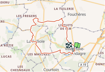


14.8 km | 16.1 km-effort


User


FREE GPS app for hiking
 SityTrail
IGN / Geographical institutes
SityTrail World
The world is yours!
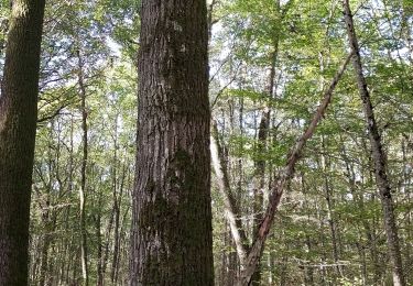
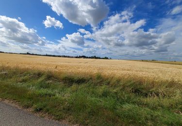
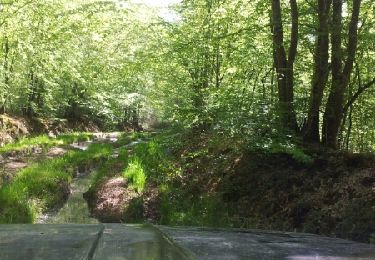
Trail Walking of 14.7 km to be discovered at Bourgogne-Franche-Comté, Yonne, Villeneuve-la-Dondagre. This trail is proposed by micheljannot.
Ce circuit traverse hameaux tranquilles et villages paisibles du Gâtinais en Bourgogne
Walking
Mountain bike
Walking

Geocaching
Geocaching

Road bike
Walking
Other activity

Walking