


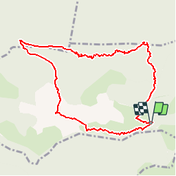

10.1 km | 16.9 km-effort


User


FREE GPS app for hiking
 SityTrail
IGN / Geographical institutes
SityTrail World
The world is yours!
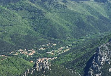
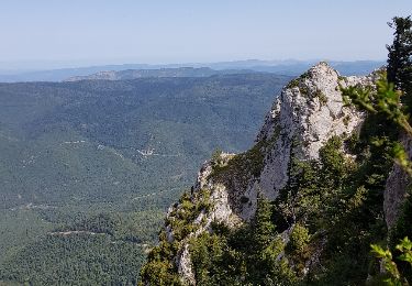
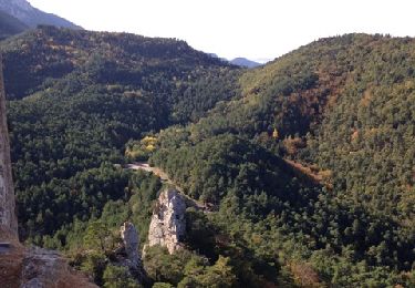
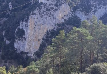
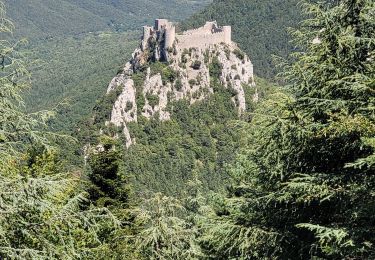
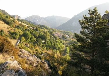
Trail Walking of 10.1 km to be discovered at Occitania, Aude, Salvezines. This trail is proposed by MALAUCLA.
Col du Frayche (aude 11)à quelques kms du village de Salvezines dans le département de l'Aude

Walking
Walking
Walking
Walking
Walking
Walking

Walking

Running